Evia

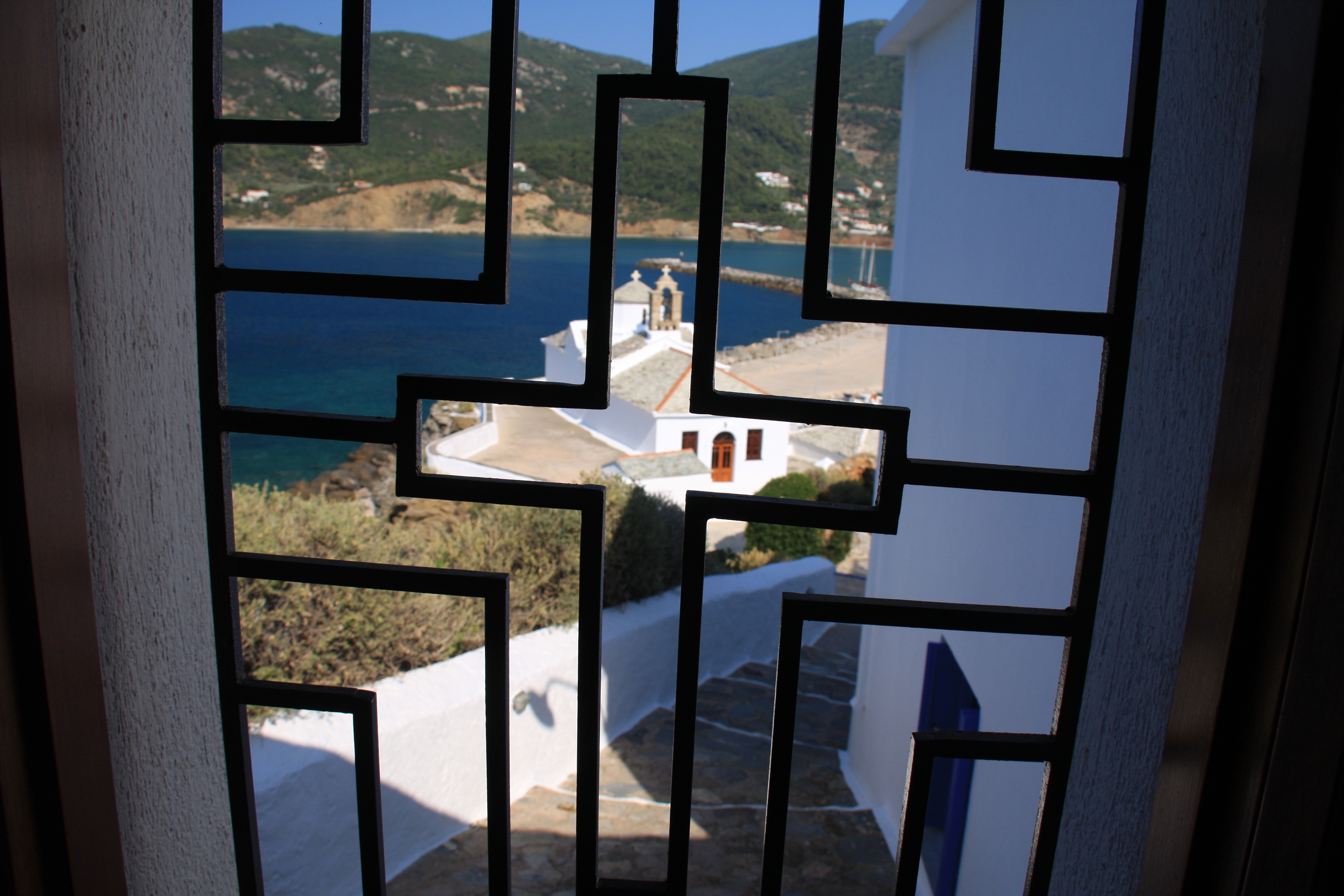
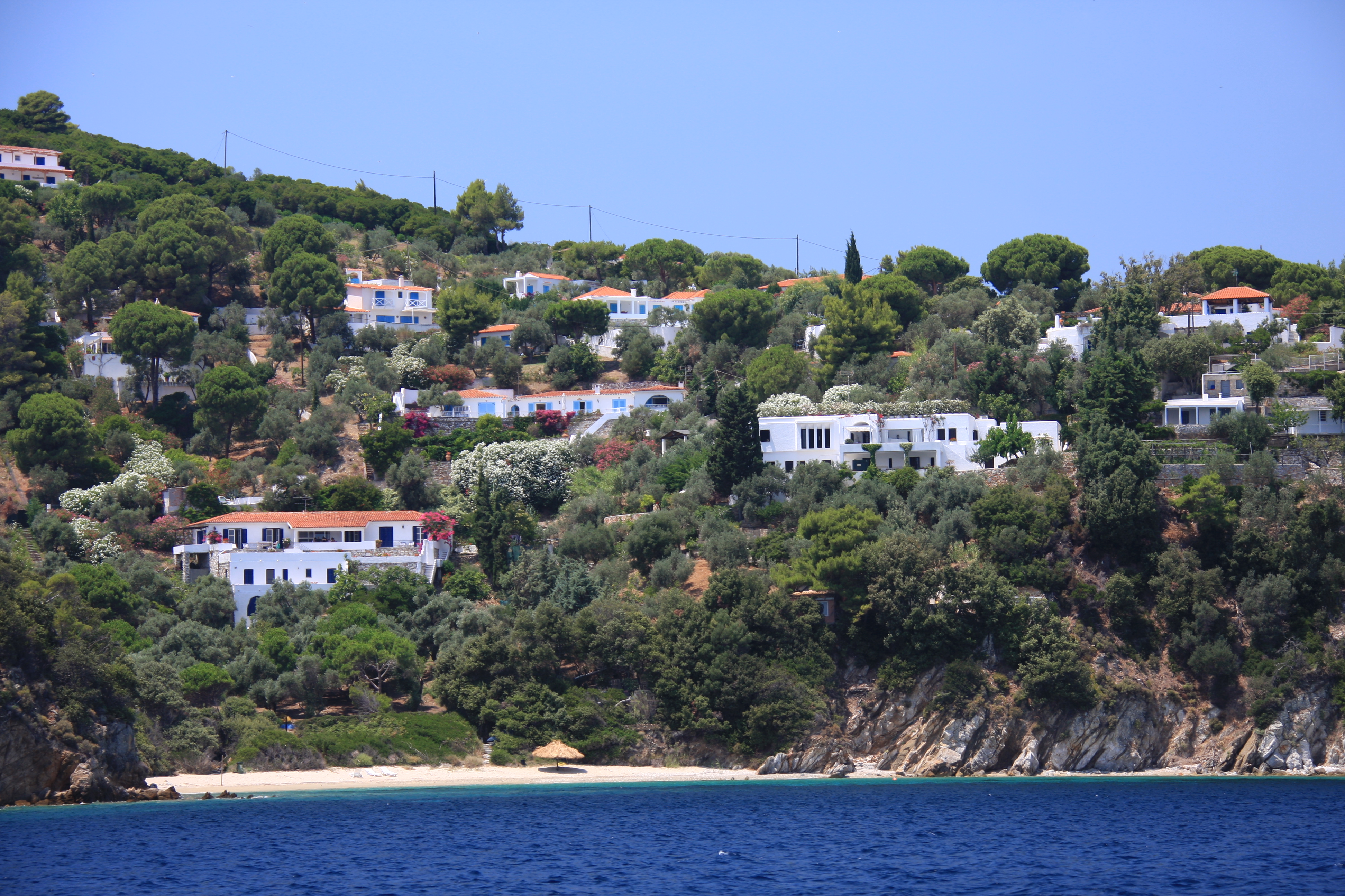
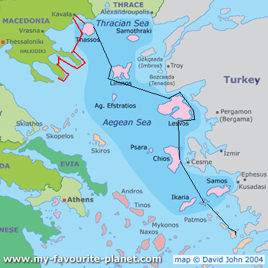
 After leaving the Northern Sporades, we had the choice of sailing south down through the channel between the island of Evia (second largest Greek island) and the mainland, or taking the faster route straight south to the Cyclades (from Skyros to Andros). Evia sounded interesting, so we chose that route, but ended up with far more challenges (and sleepless nights) than anticipated. It proved to have significant tides, currents and more pilotage issues not to mention tricky tiny harbours, really too small and too shallow for Sea Cloud.

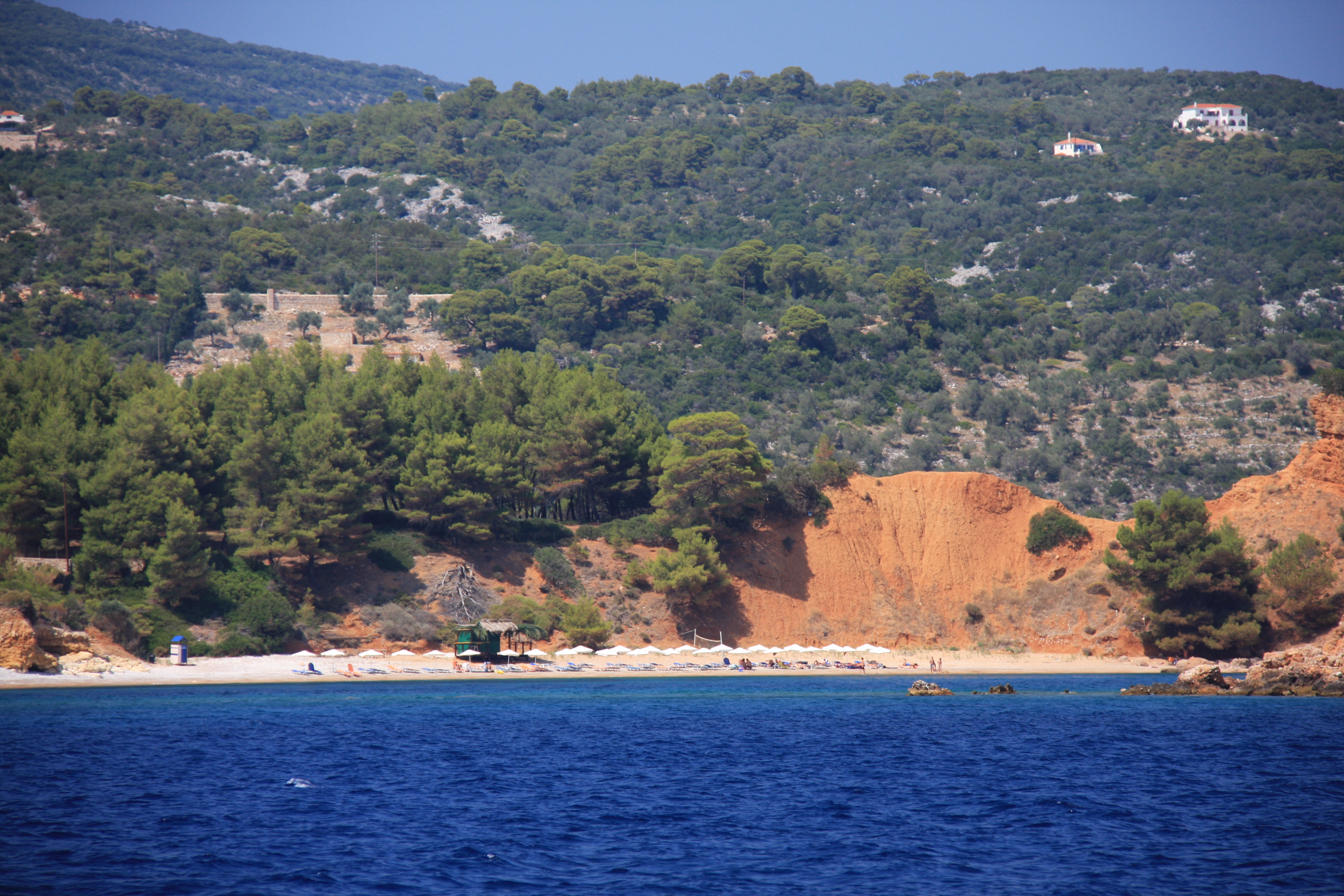
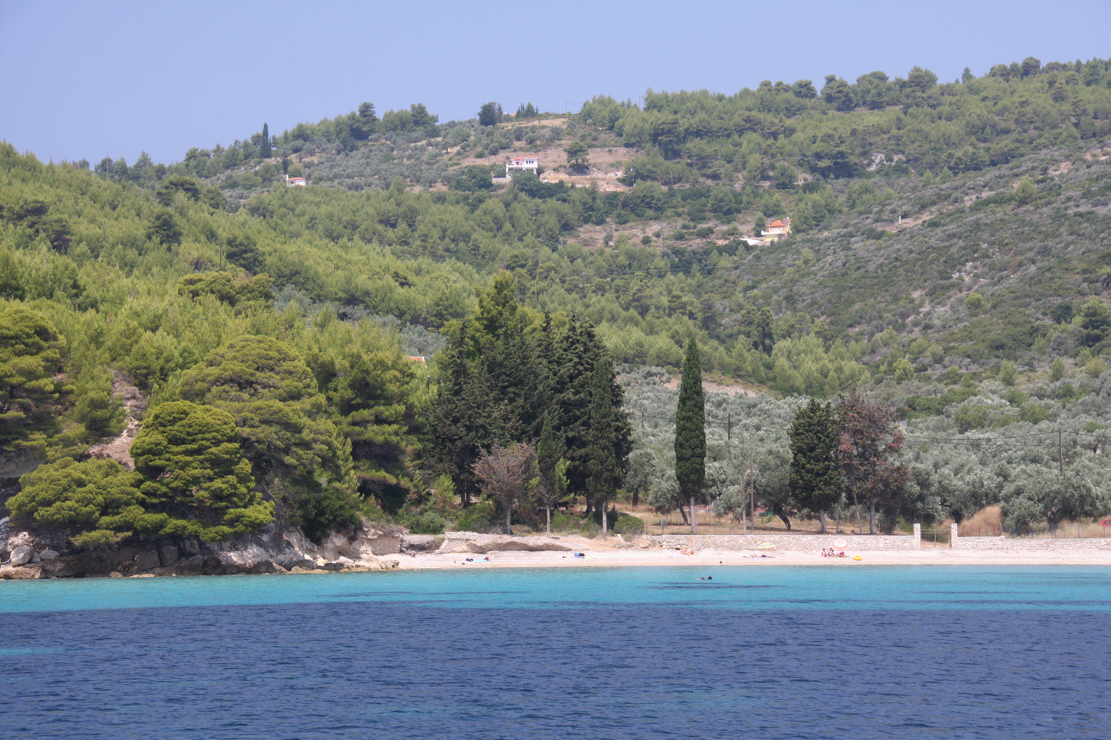
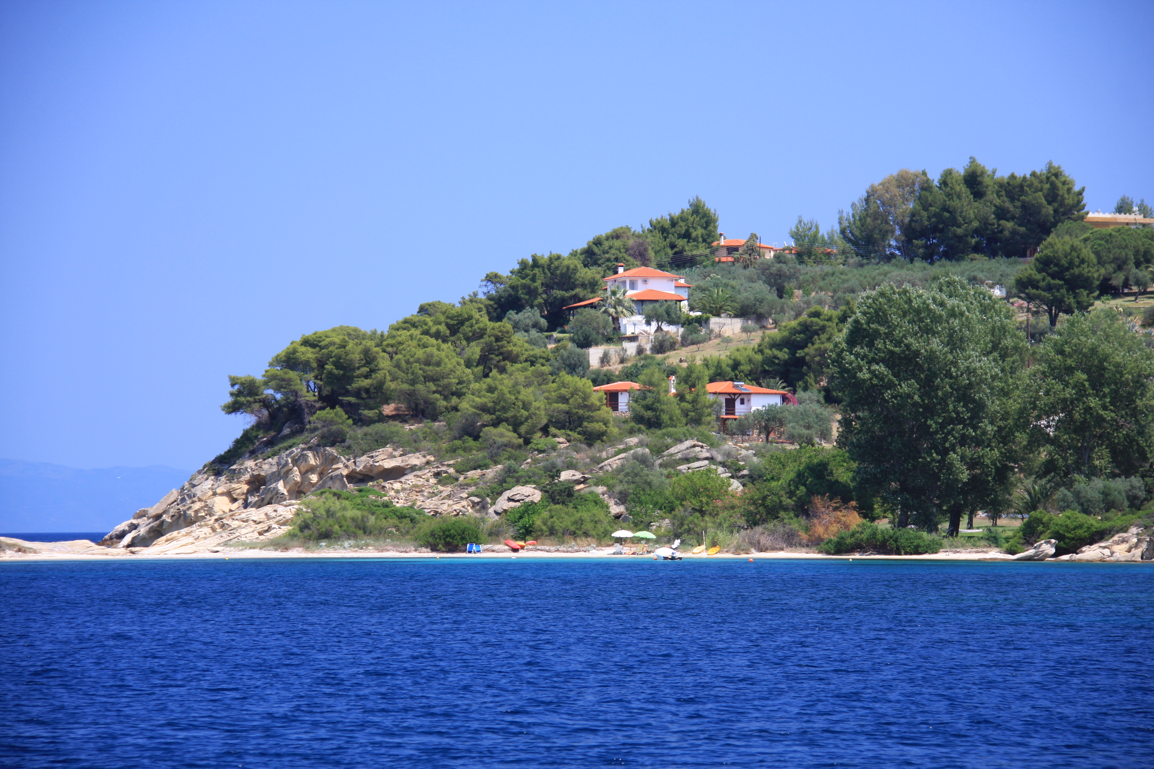
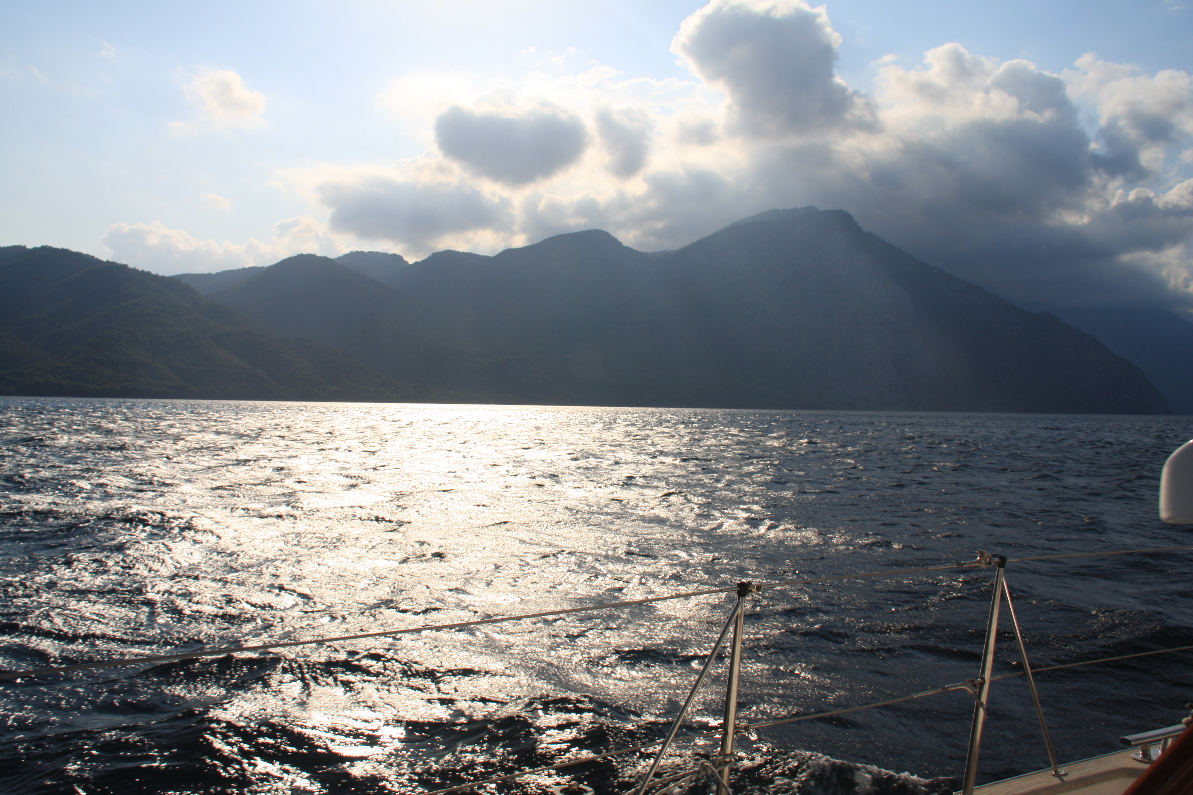
The northern end of Evia is very green with towering mountains which always seem to be shrouded in clouds.

Evia 235

Evia 239

Shoe-horned into the tiny harbour of Limni, between a fishing boat and a not so happy Frenchman with parts of Sea Cloud overlapping at both ends.

Evia 260

Evia 248

Limni

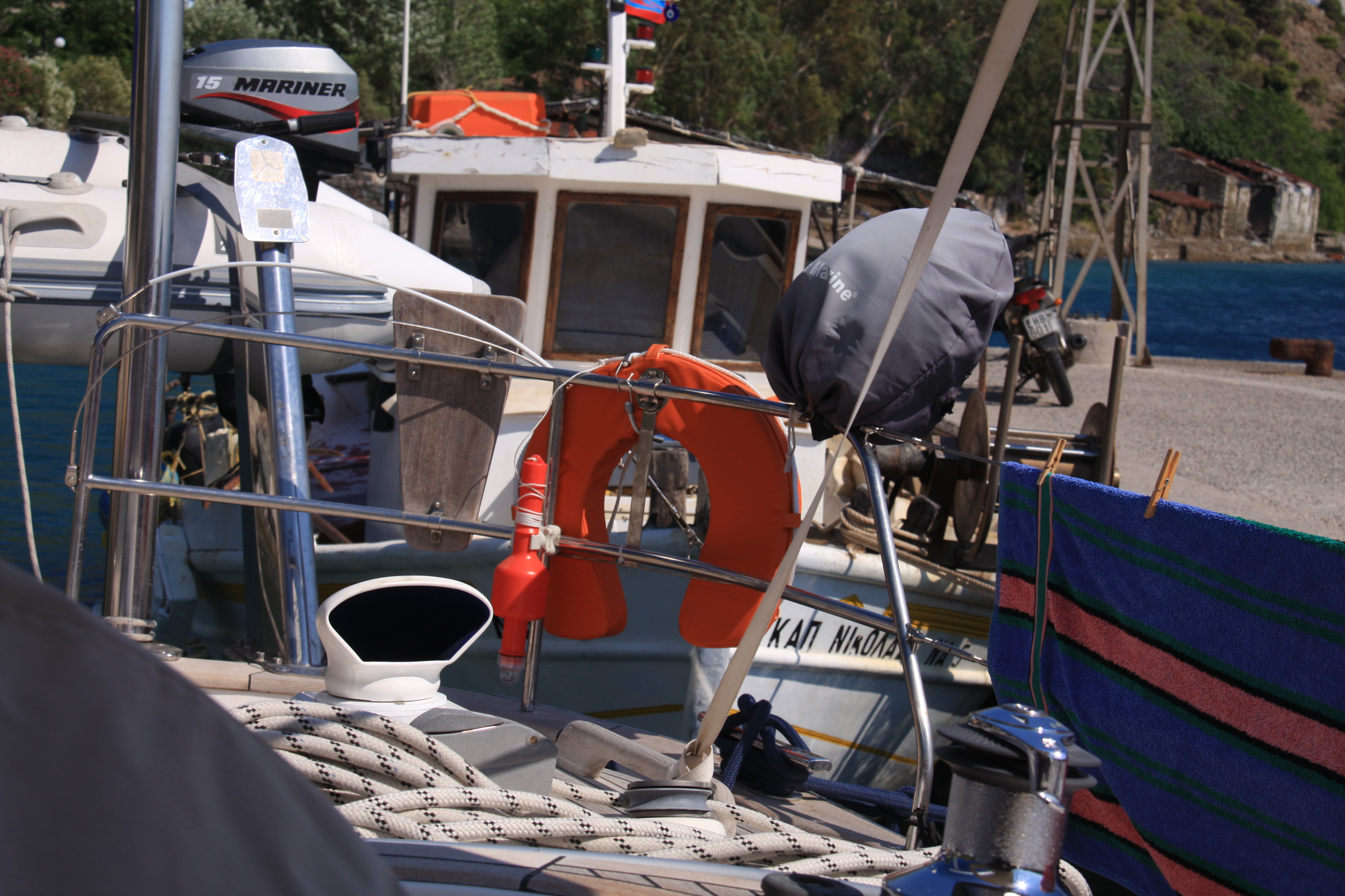
The most disconcerting part of the harbour is the extremely narrow (and shallow) entrance. We were horrified when we snorkelled over the entrance to see just how narrow and only a 2 feet or less of clearance under the keel – no room for error.

Evia 249

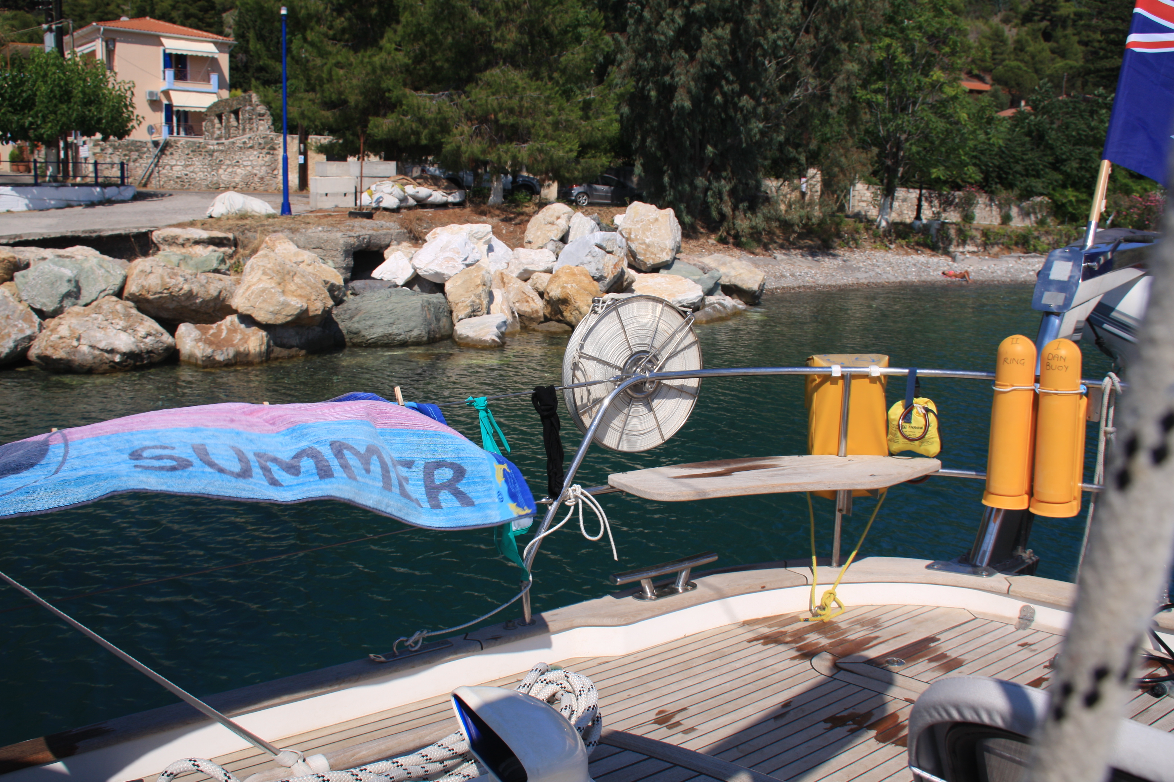
By the time we returned to the boat after dinner, the water level had dropped by about 30cm – but we were still floating. For the first time in the Med we had to think about real tides!

Limni town

Just south Limni there were strange dense clouds above the mountains. Wondering about the notorious katabatic winds in the region we headed well off shore in 20 – 30kt winds while watching the boiling foaming white water being whipped up creating impressive willy willies just off the coastline.

Evia 264

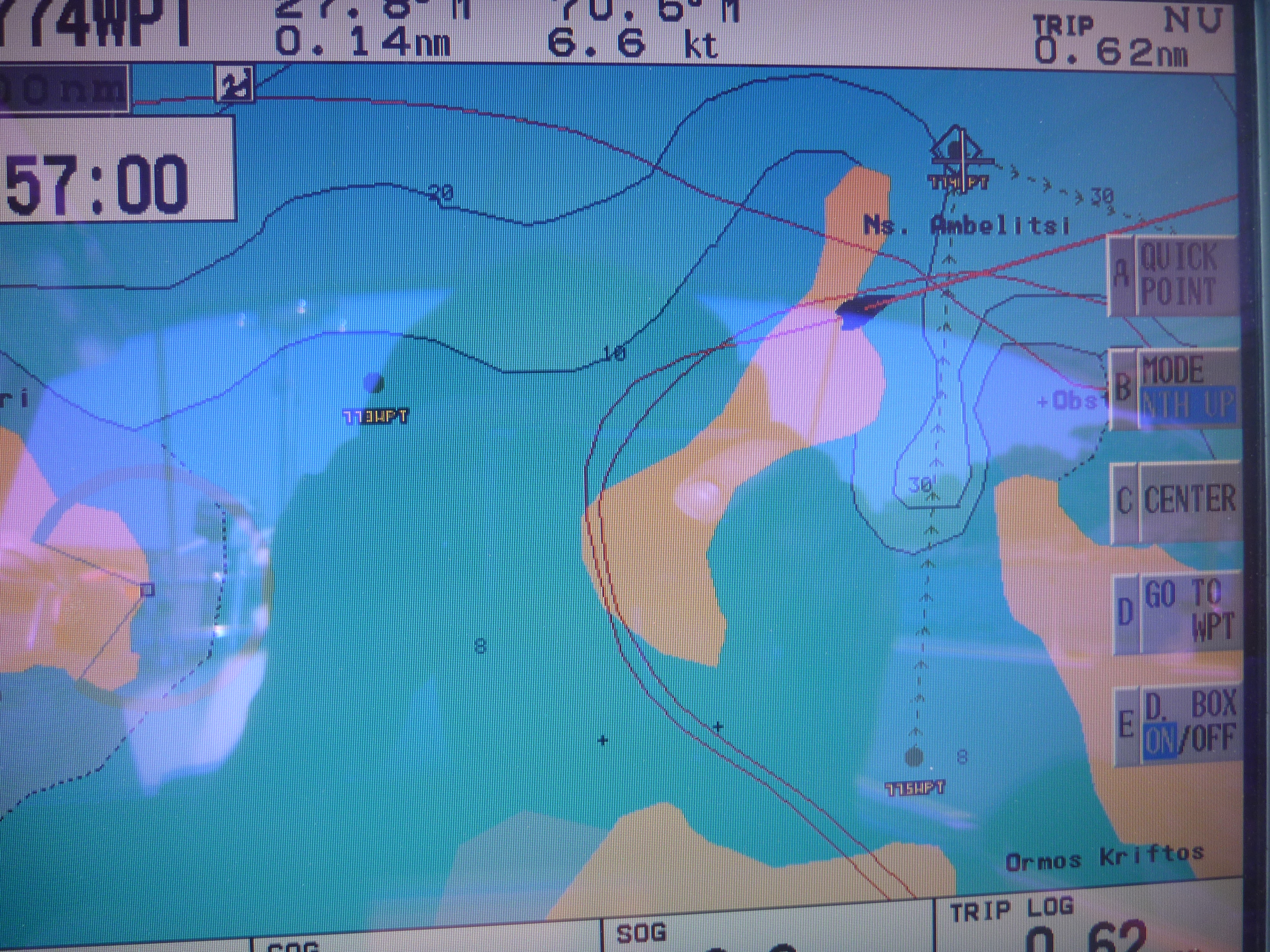
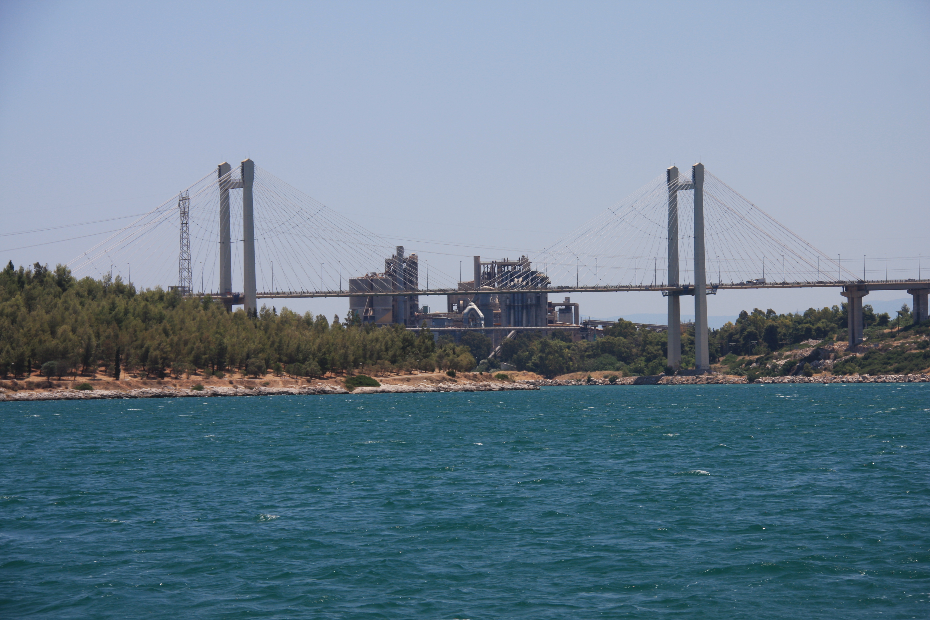
Our next challenge was getting through the Khalkida bridge which is affected by very strong currents and only opens briefly in the middle of the night (4am for us).  None of the pilot books were specific about depths and we were not convinced that our 2.4m draft would not ground at low water. The harbour at Khakhis looked a bit like a huge washing machine and it was quite disconcerting finding ourselves moving sideways at 5kts while trying to get close to the wall with indeterminate depths under it! One can see why it is crucial that the bridge is opened only at slack water.

Khalki harbour

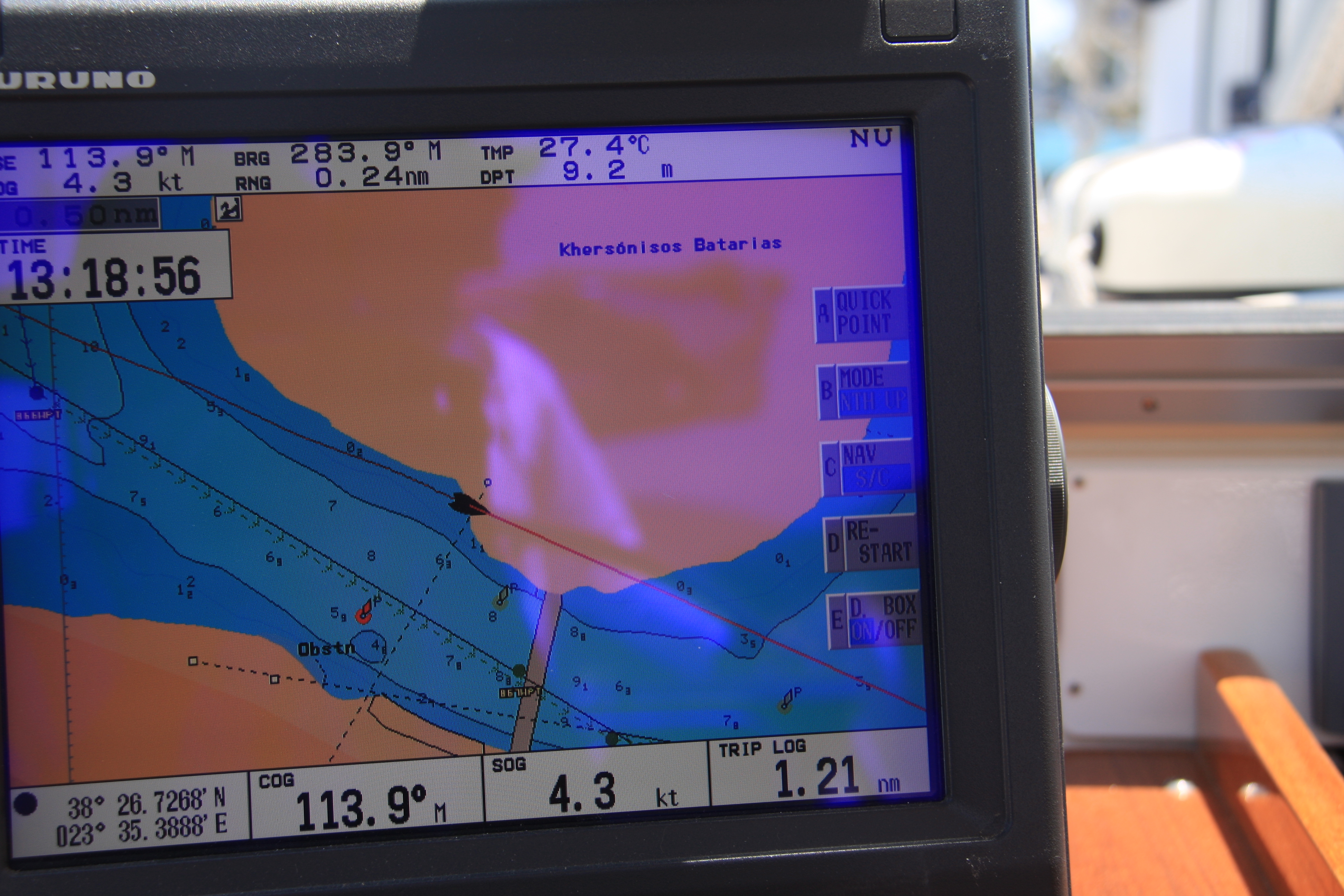
Another tricky bit of  pilotage is required to pass under the next bridge with shallow water either side – the good old plotter had us skipping over the land again – a reminder to avoid this at night and always rely on mud maps, bearings and ones eyes!

Evia 270

Evia 271

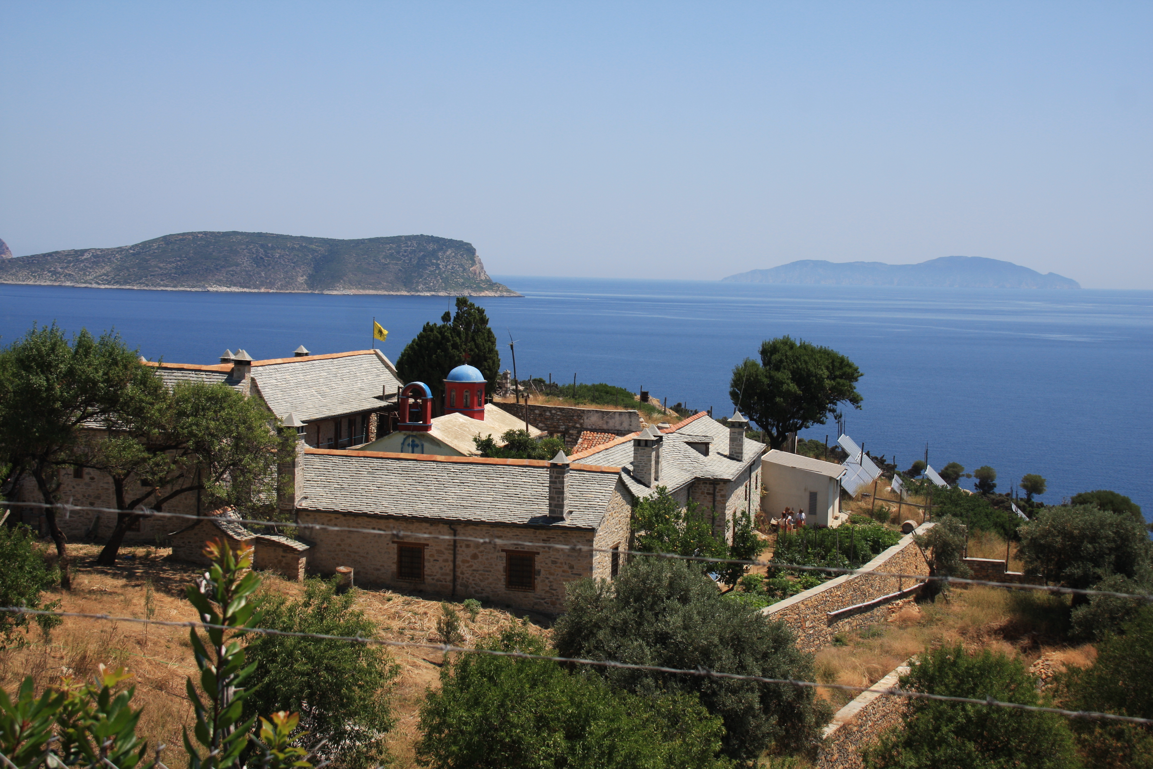
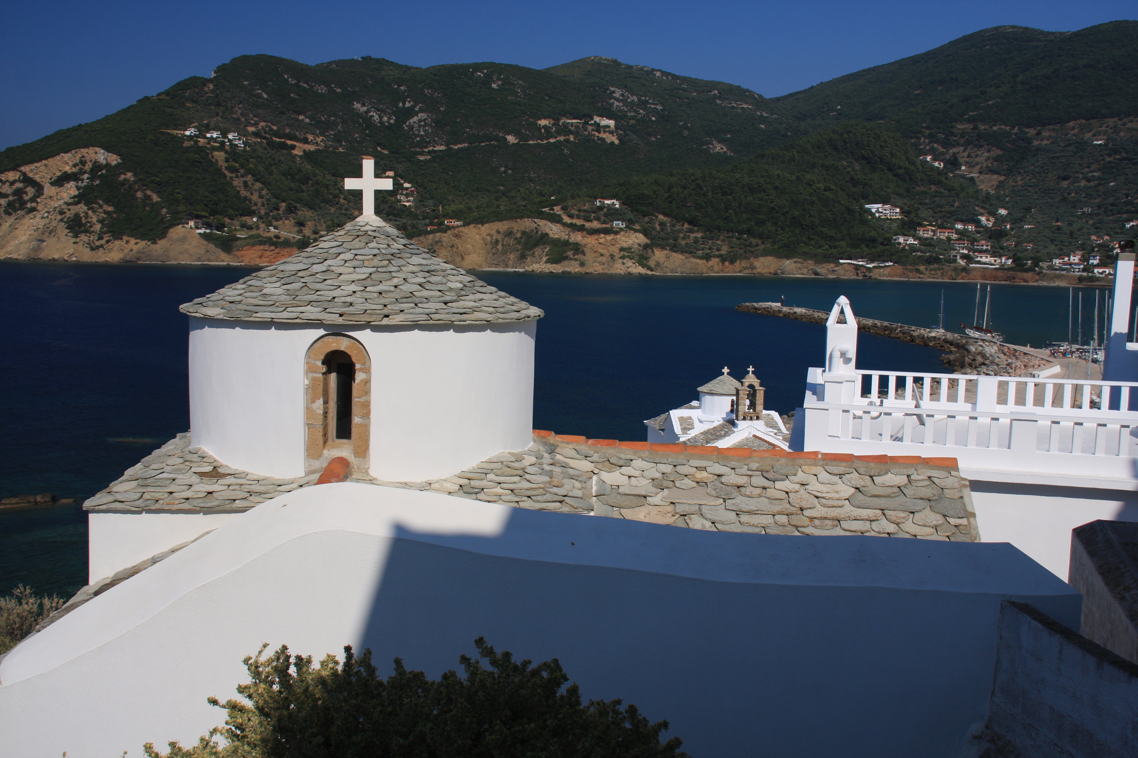
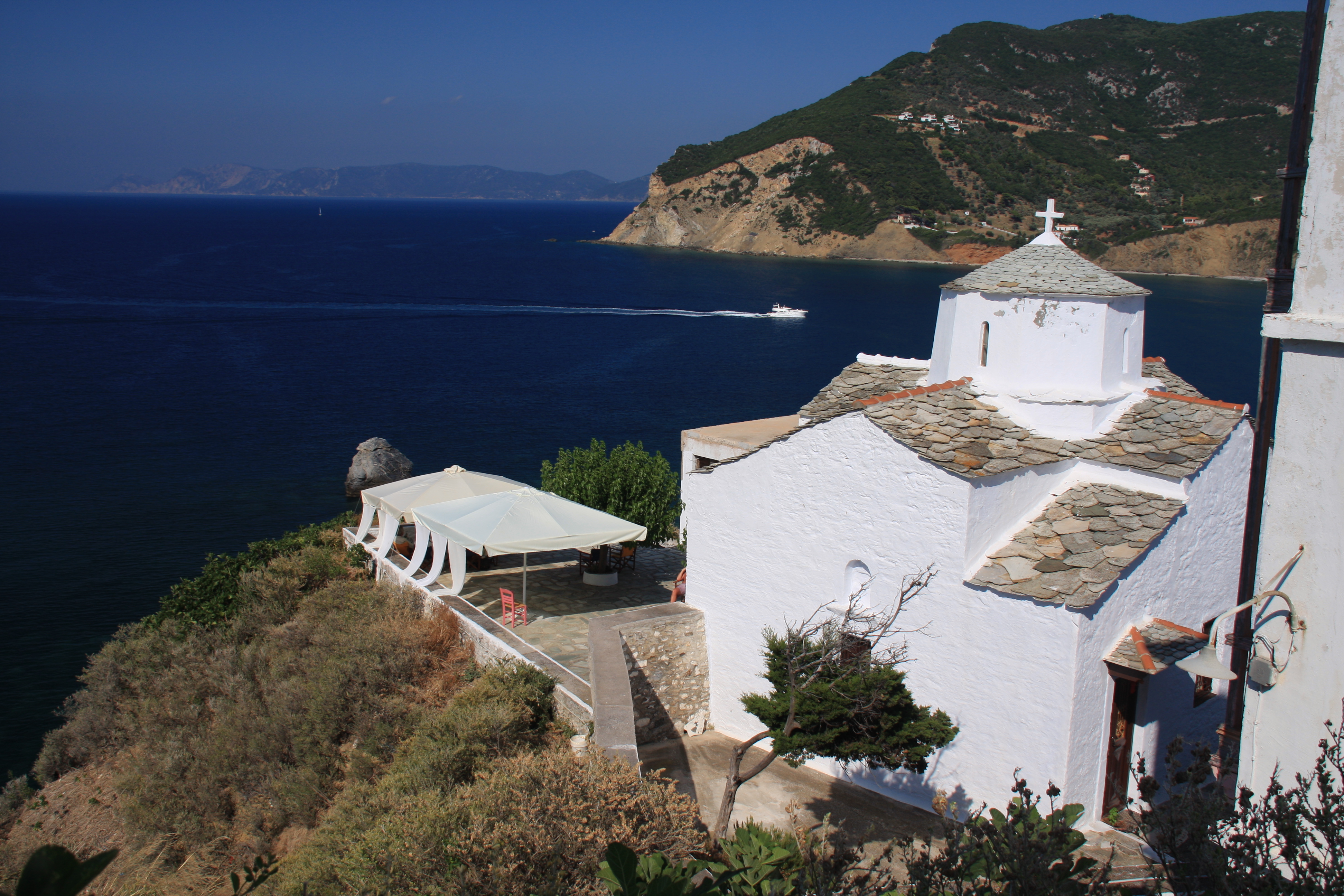
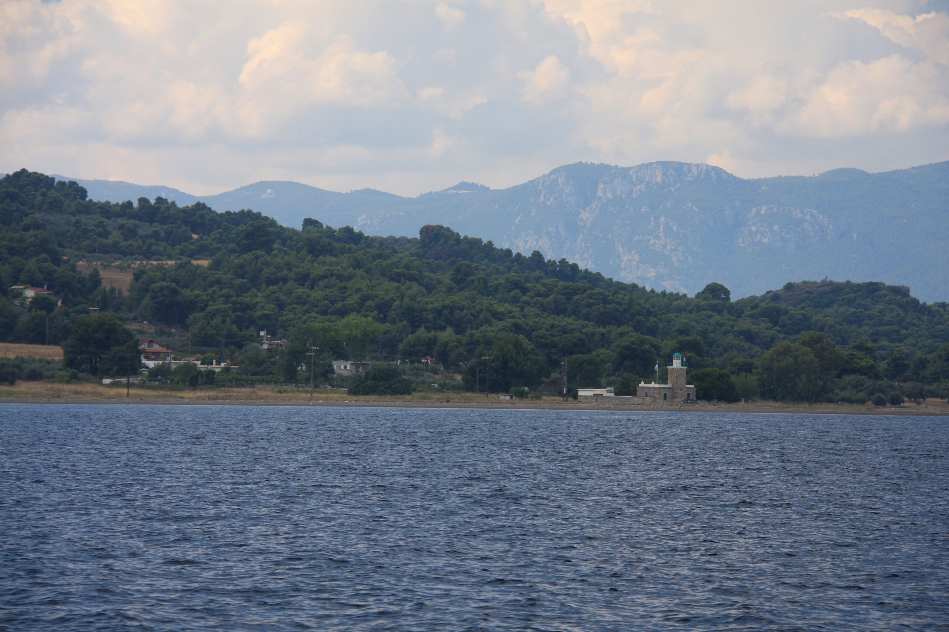
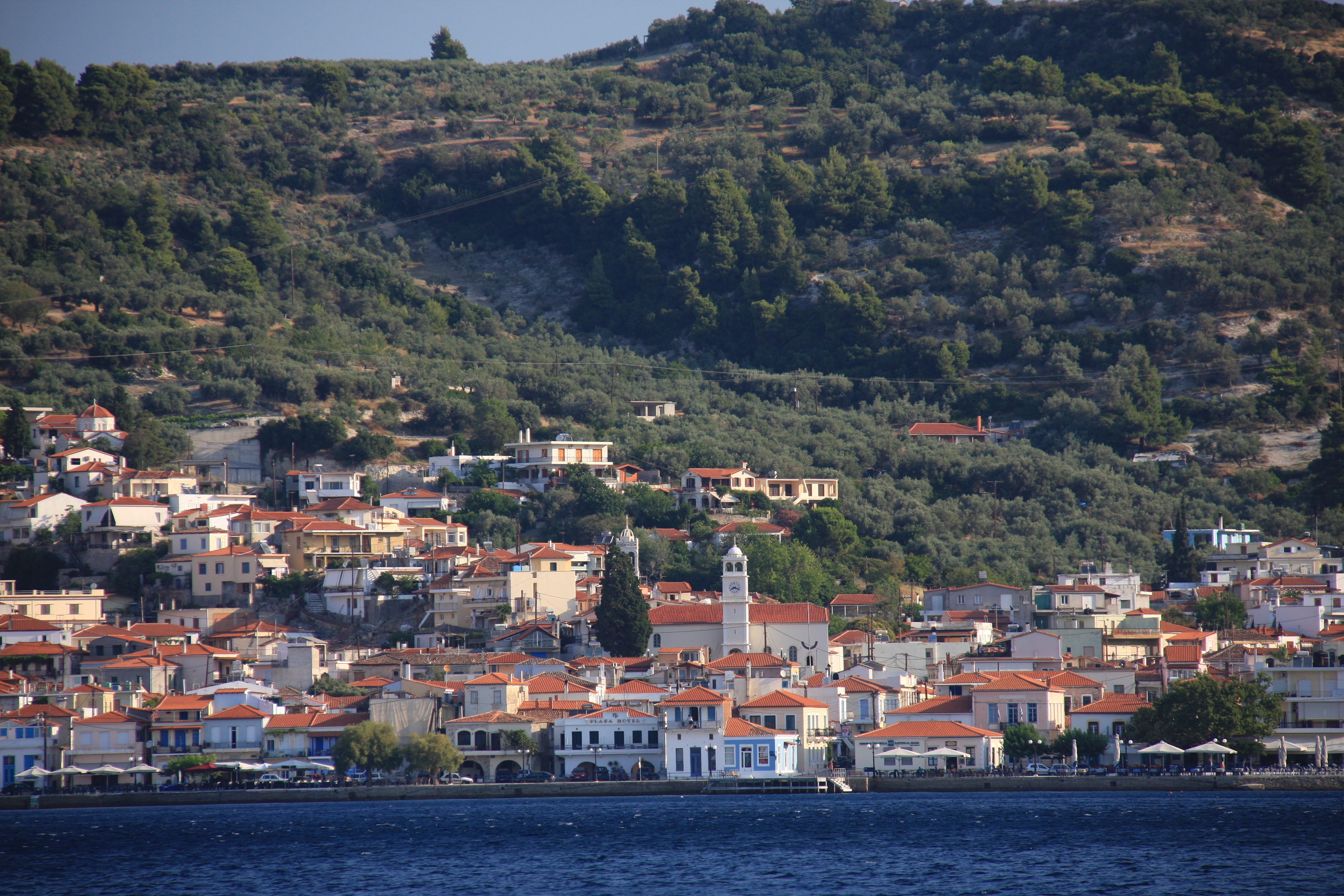
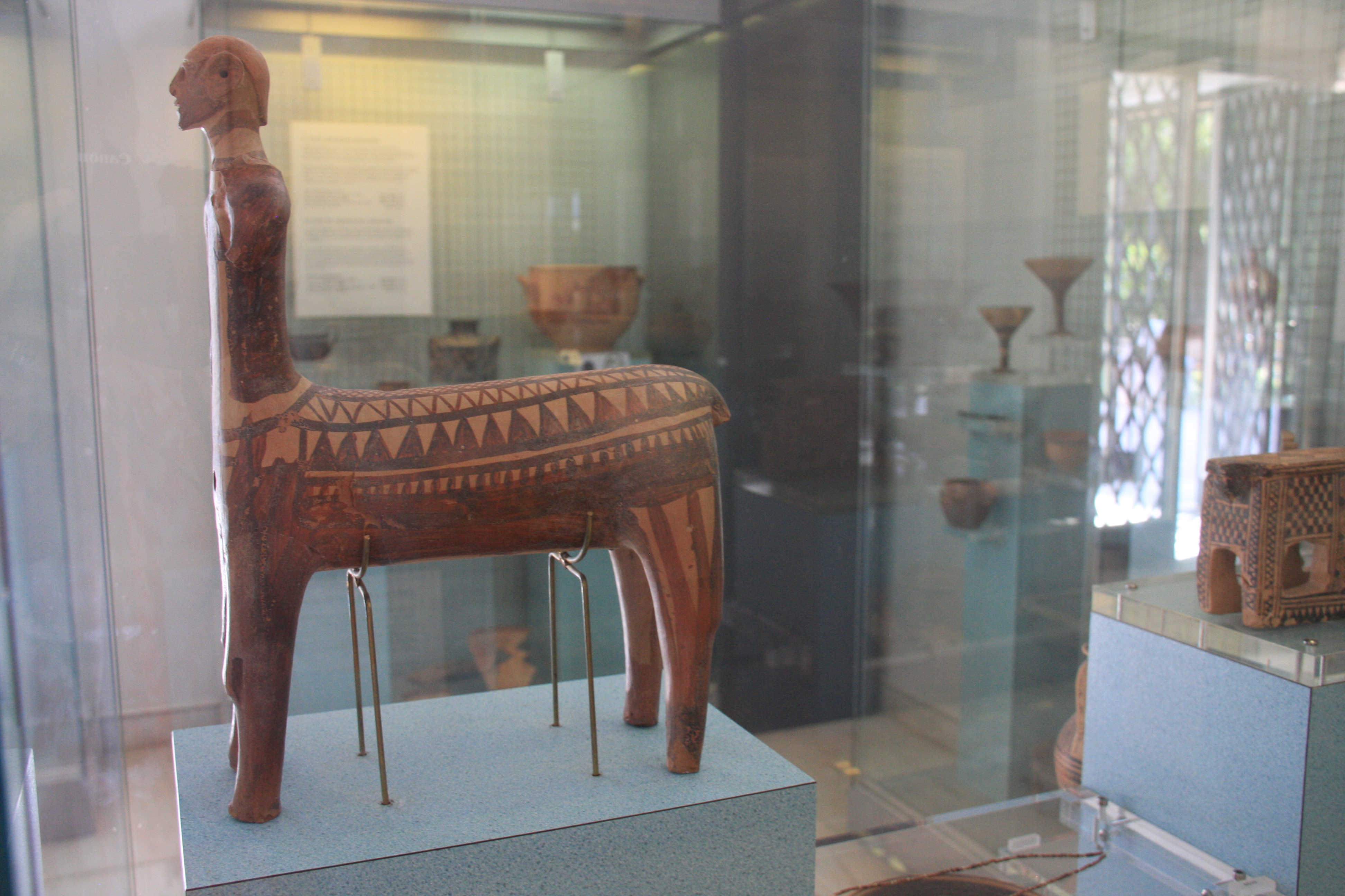
Eritrea (Greece, not Africa) a small town with an attractive safe bay, has a modest but wonderfully organised and illustrated archaeological museum containing items from nearby excavations dating back to 9th C BC.

Evia 283

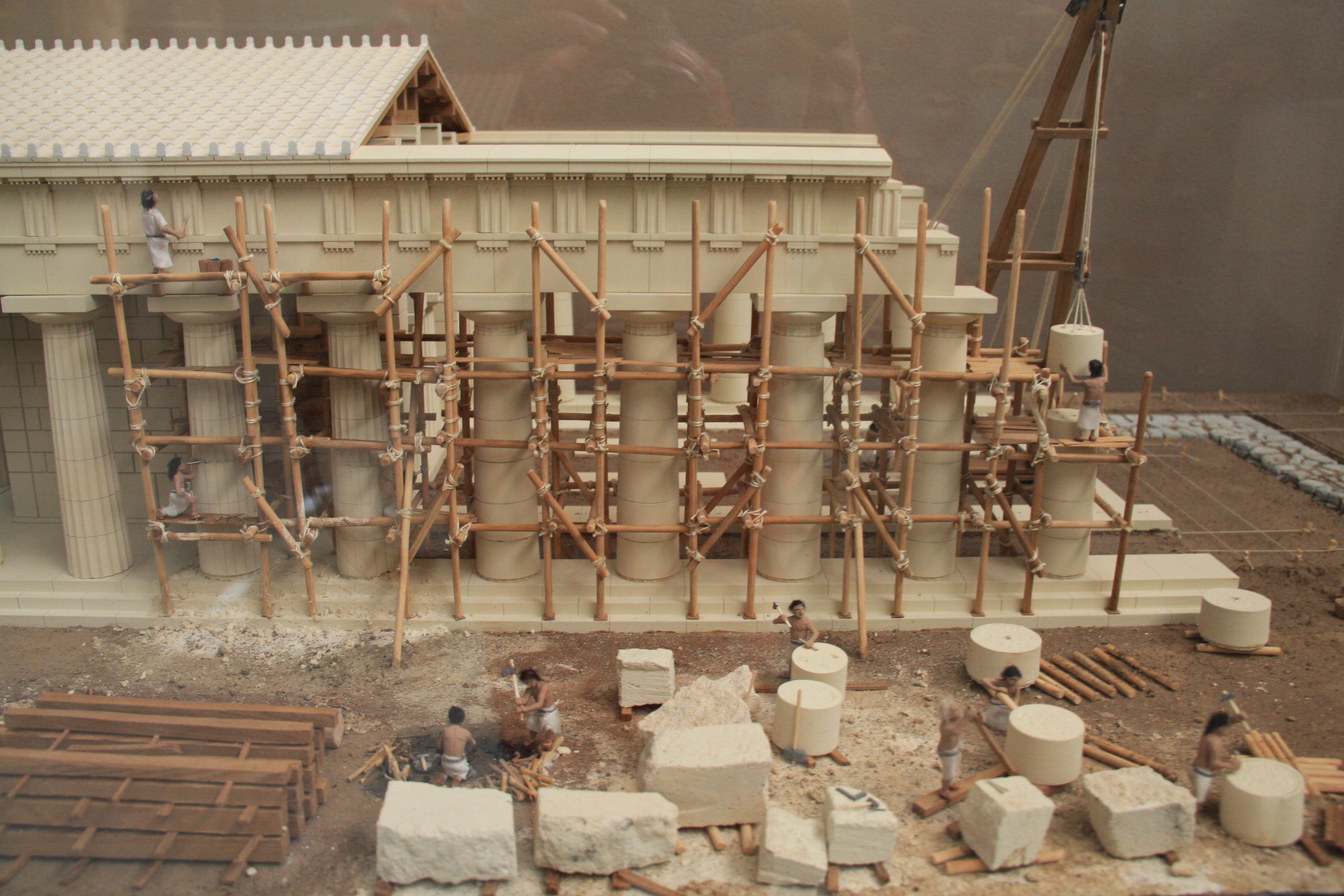
So that’s how they built those temples!

Evia 292

Evia 288

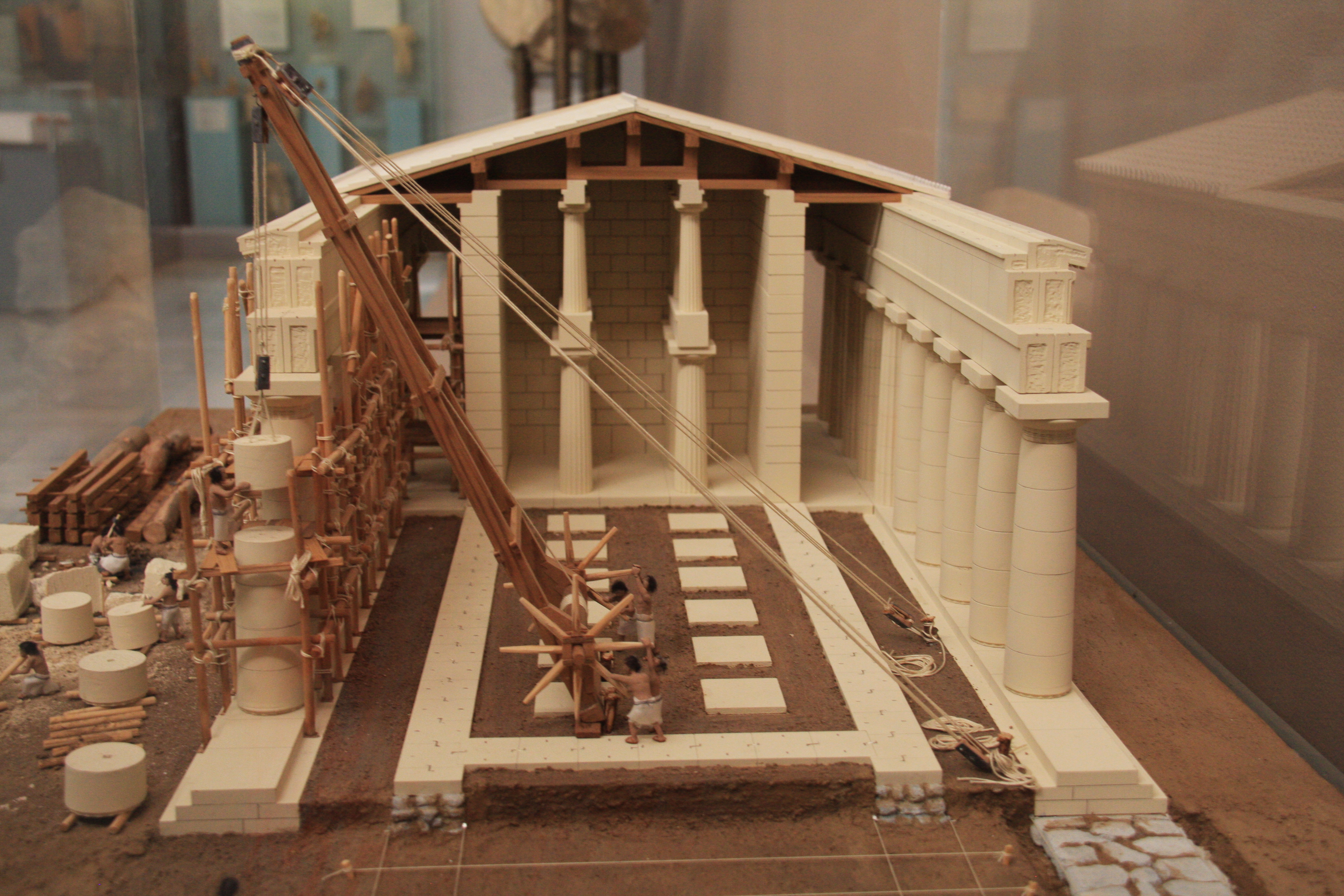
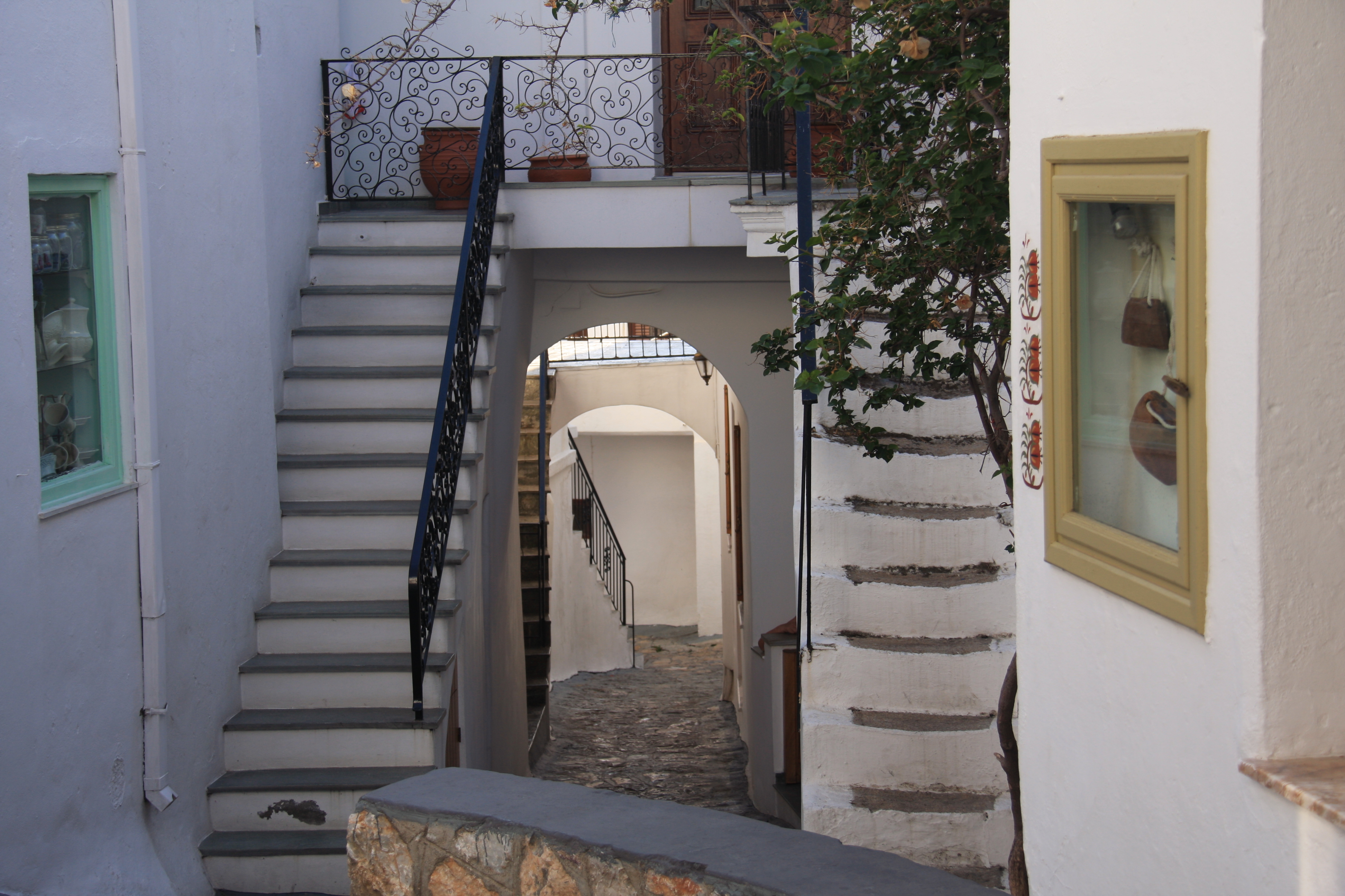
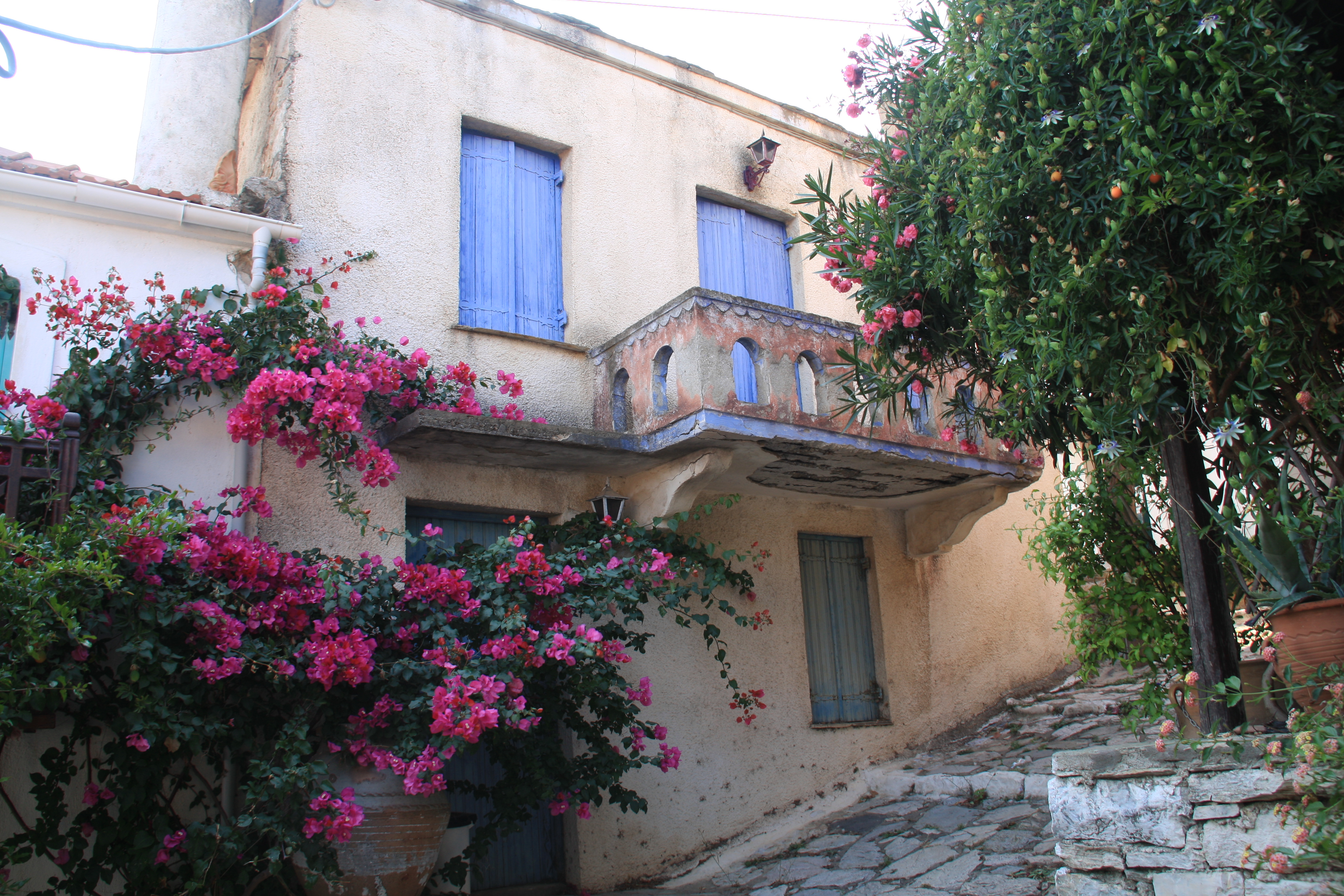
The nearby excavations with clearly visible domestic housing (4C BC) with preserved mosaic floors, and remains of the amphitheatre are well  worth the visit. The town itself is incredibly friendly – a good place to stop and re-provision. It is well connected by car ferry with the mainland – hard to believe this lovely place is only 45km by road from Athens.

Evia 306

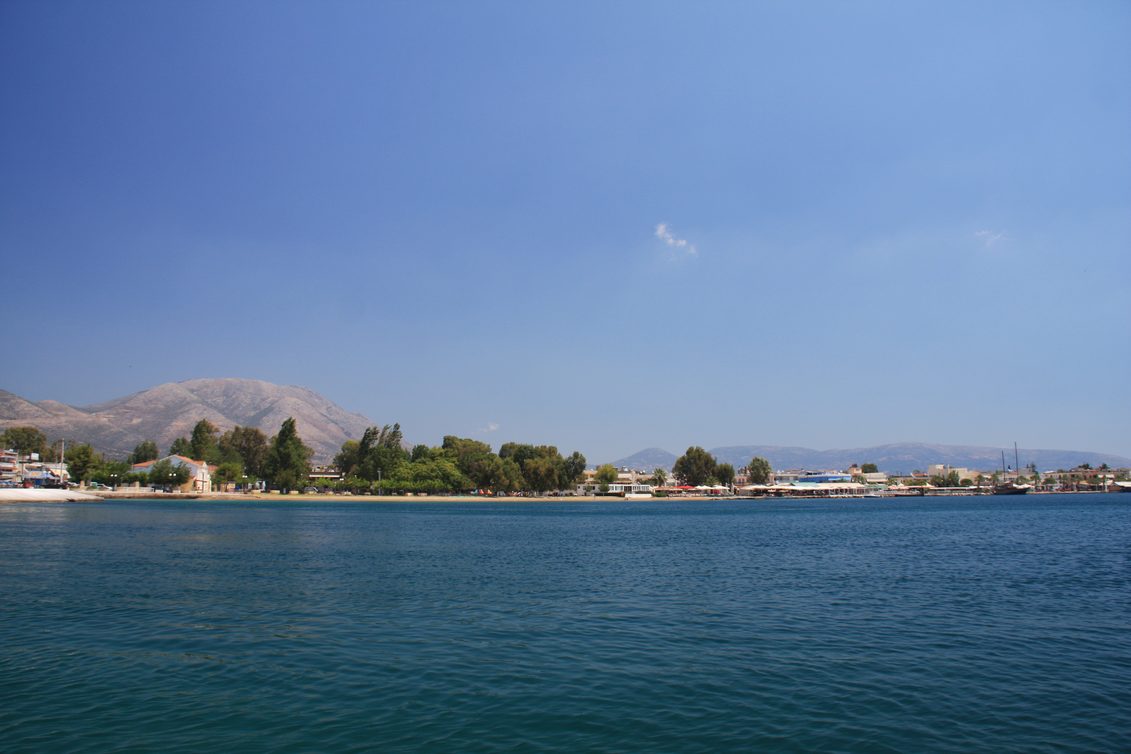
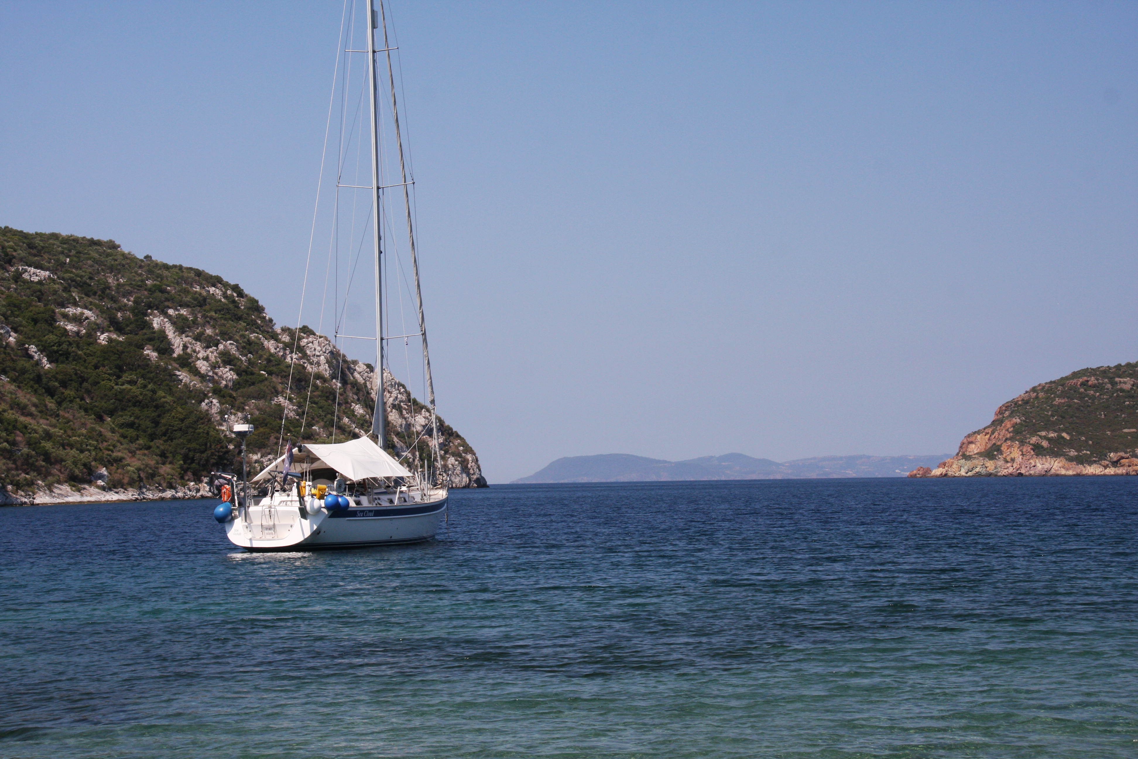
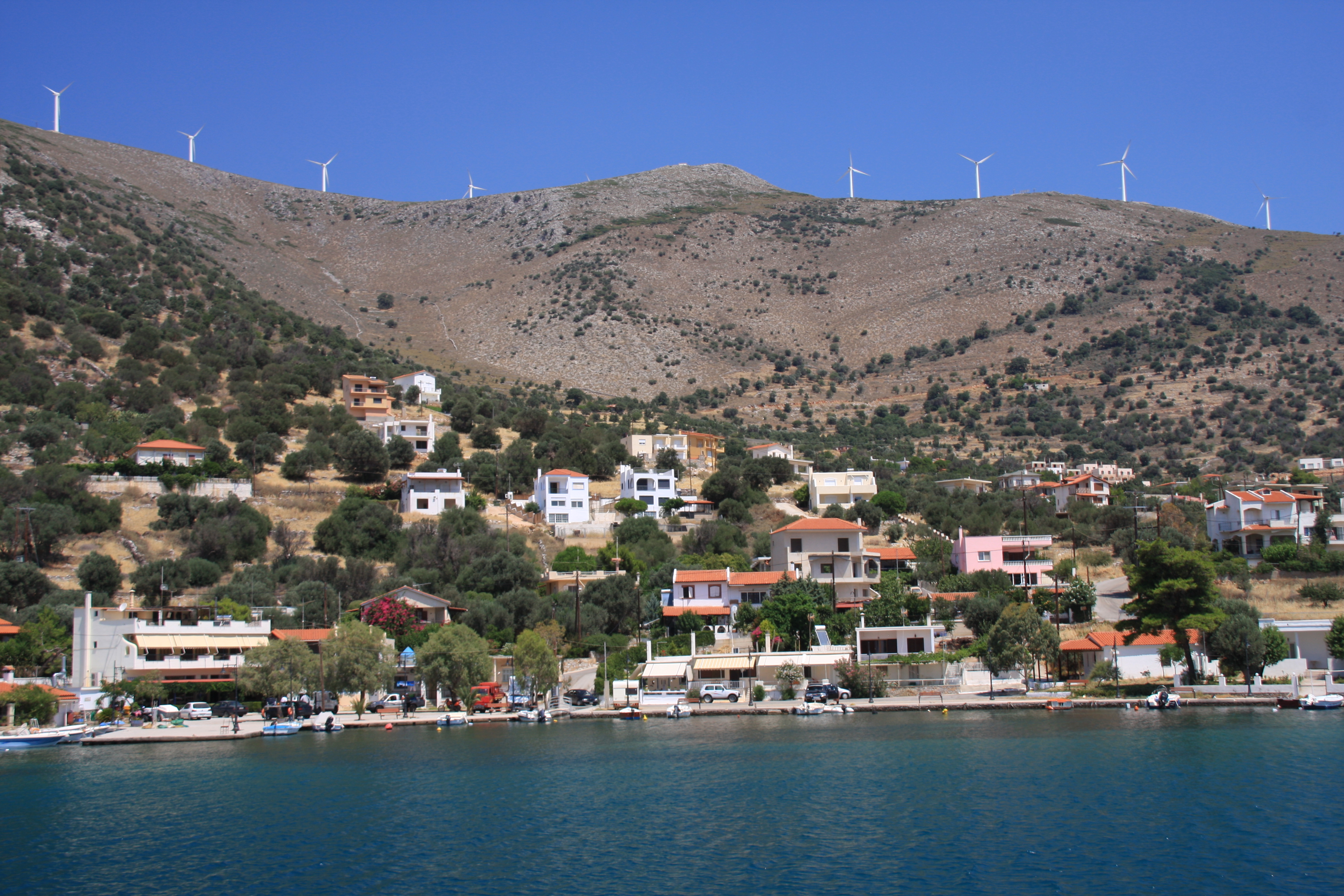
Not far from Eritrea the winds hit, we are in the Cyclades weather zone again. Anchoring under a row of wind generators sitting atop a bald hill is always a bit disconcerting! We didn’t know it at the time, but the bay of Agios Dimitiros in Ormos Almiropotamos where we had planned a one night stay was going to be our home for the next few nights.

Agia Dimitirios

The wind steadily increased overnight and when it hit 42 knots, we decided to put out even more anchor chain at 3am – only to find the engine wouldn’t start. Planning to sail off the anchor the next day, we were dismayed to see that the local fisherwoman had thoughtfully laid her net all over it during the night -now completely  encasing the anchor chain, making it impossible to use the anchor windlass.

Fishing net

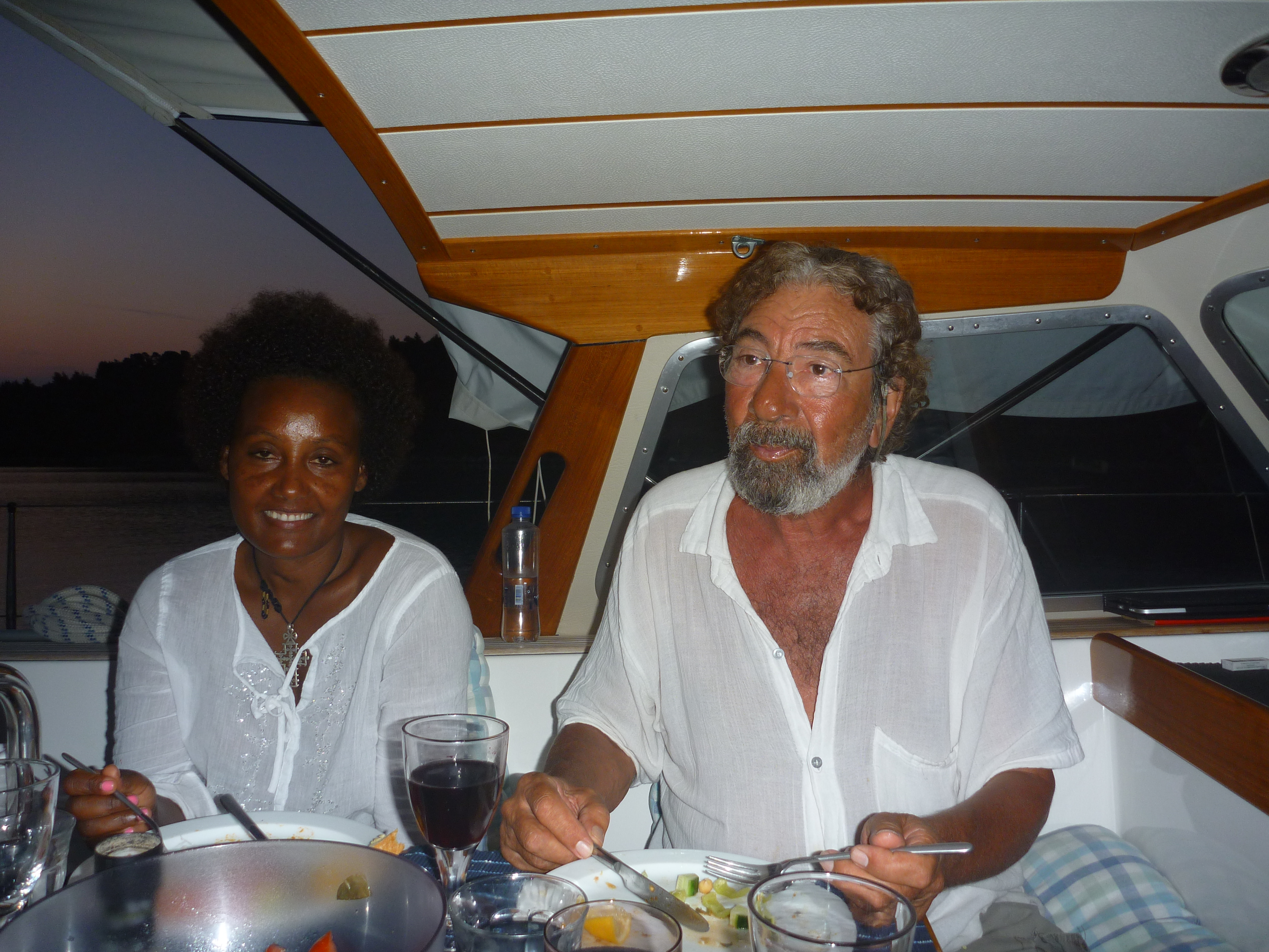
With knives working hard, we quickly realised that the extent of the problem required help of a diver and obviously postpone our departure. The wonders of modern internet –  within 2 hours, George from Petries Diving  School from the East coast arrived to help.

Evia 320

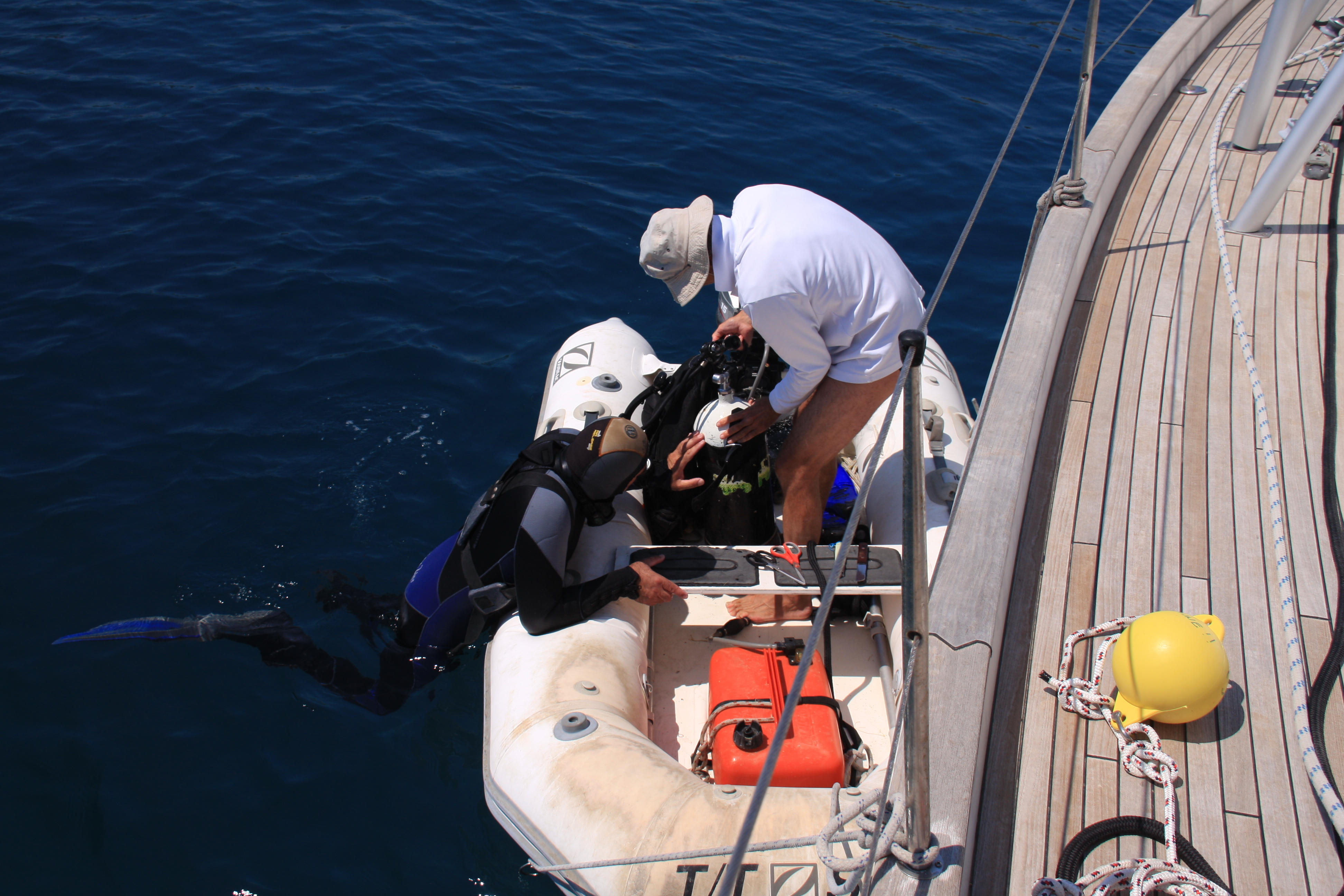
After nearly 2 hours and 2 tanks of air, George cleared the chain.

George

To give an idea of the wind strength and shifting direction, the anchor alarm had Sea Cloud travelling 7Nm over the ground overnight with 60m of chain out.

7Nm overnight

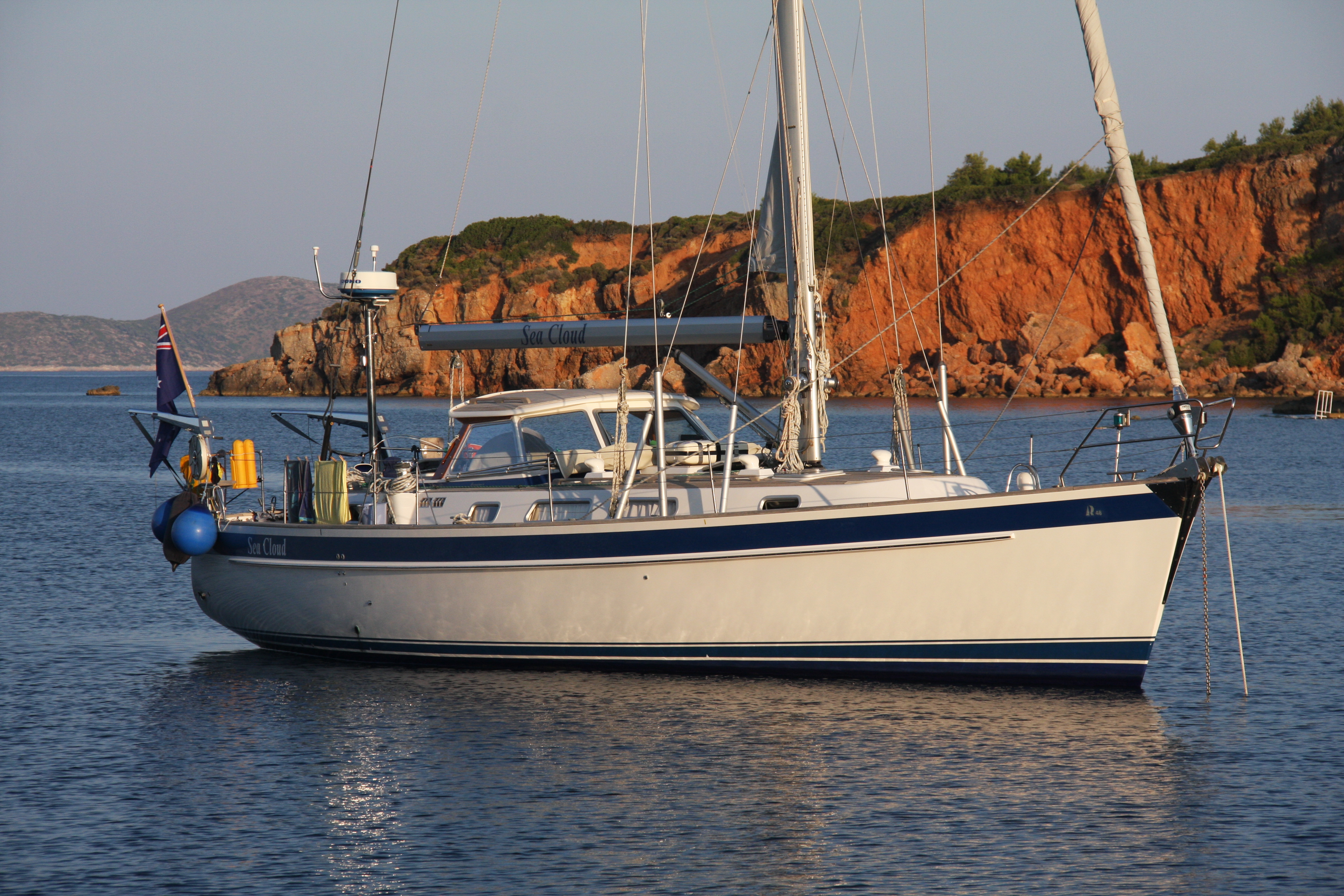
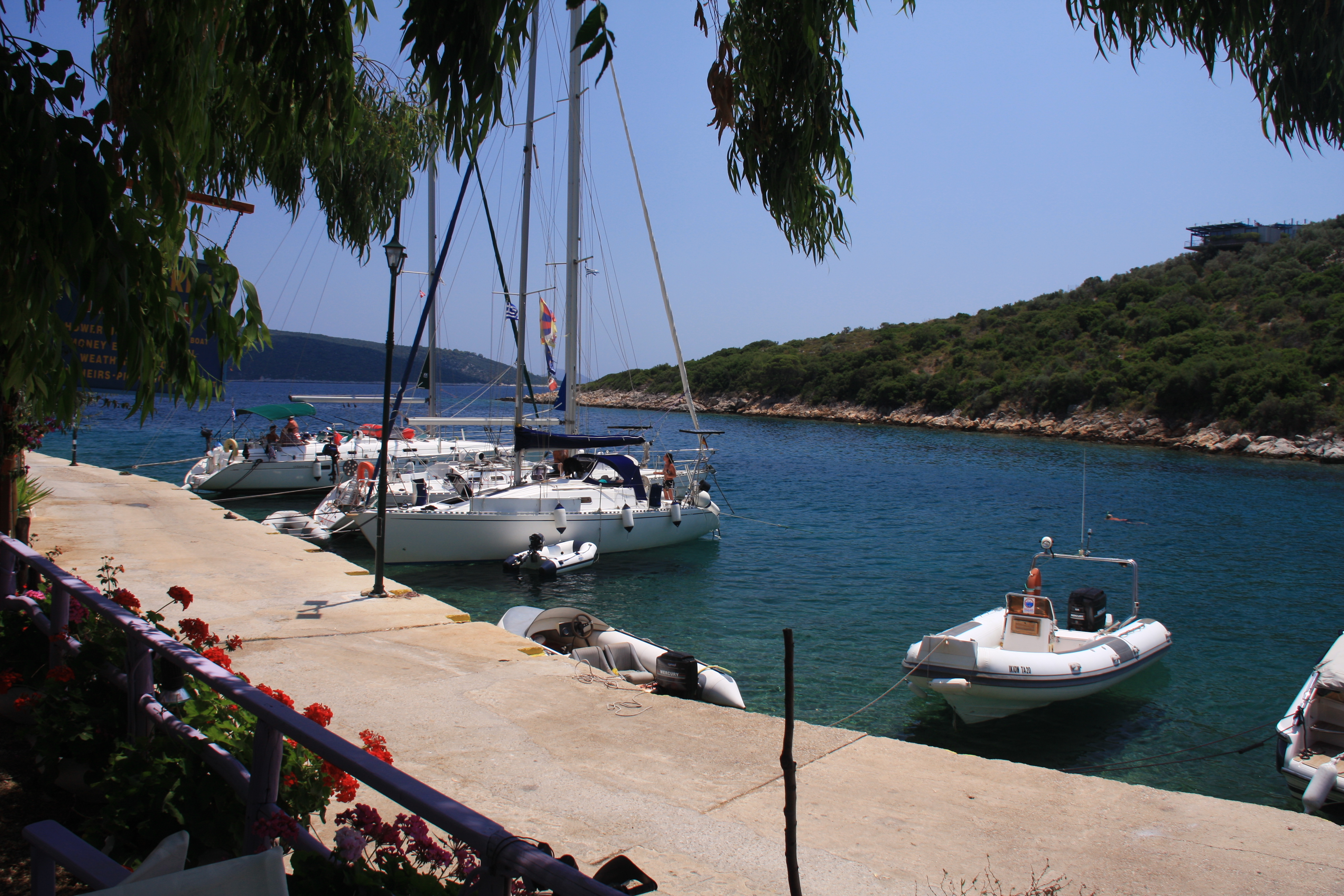
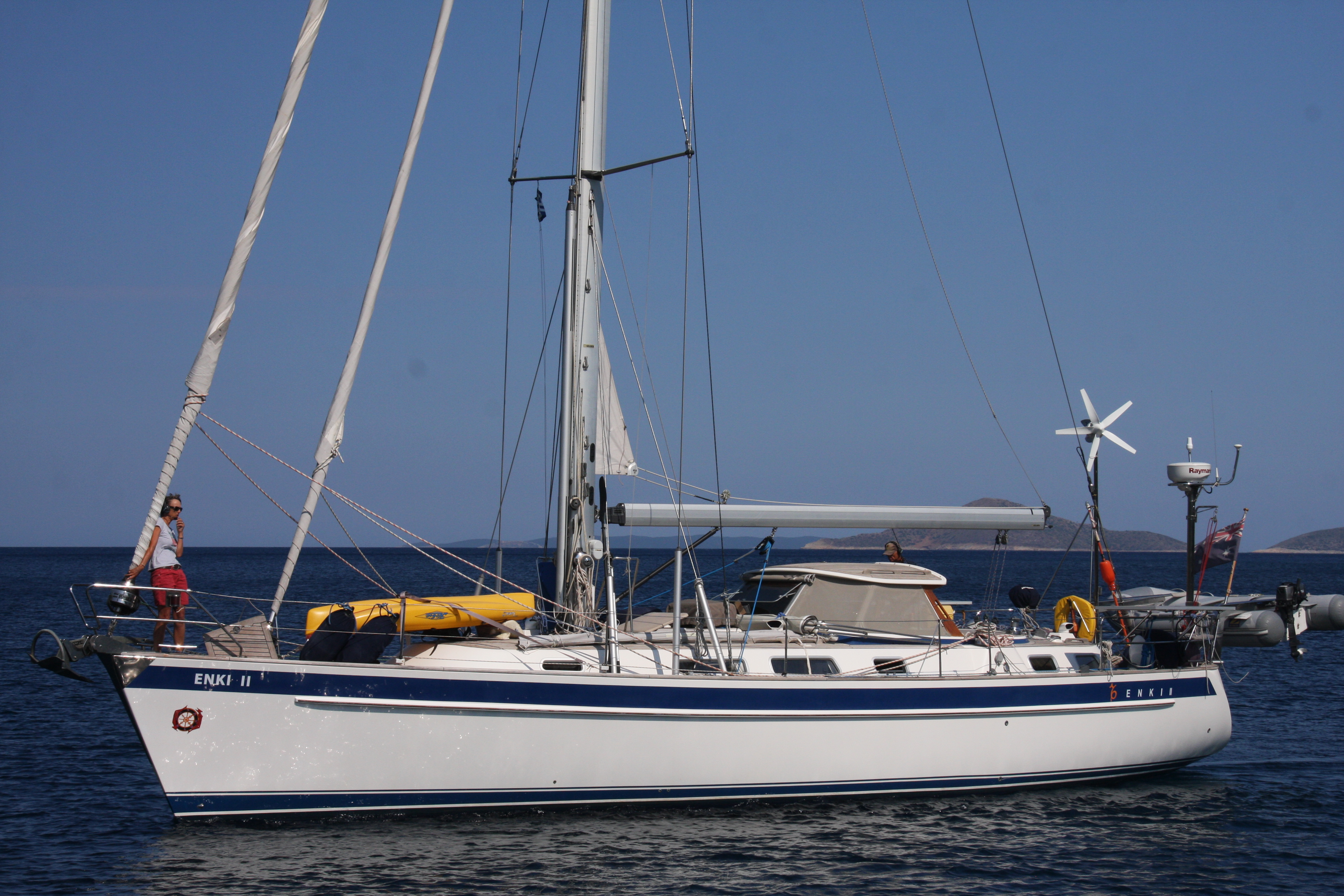
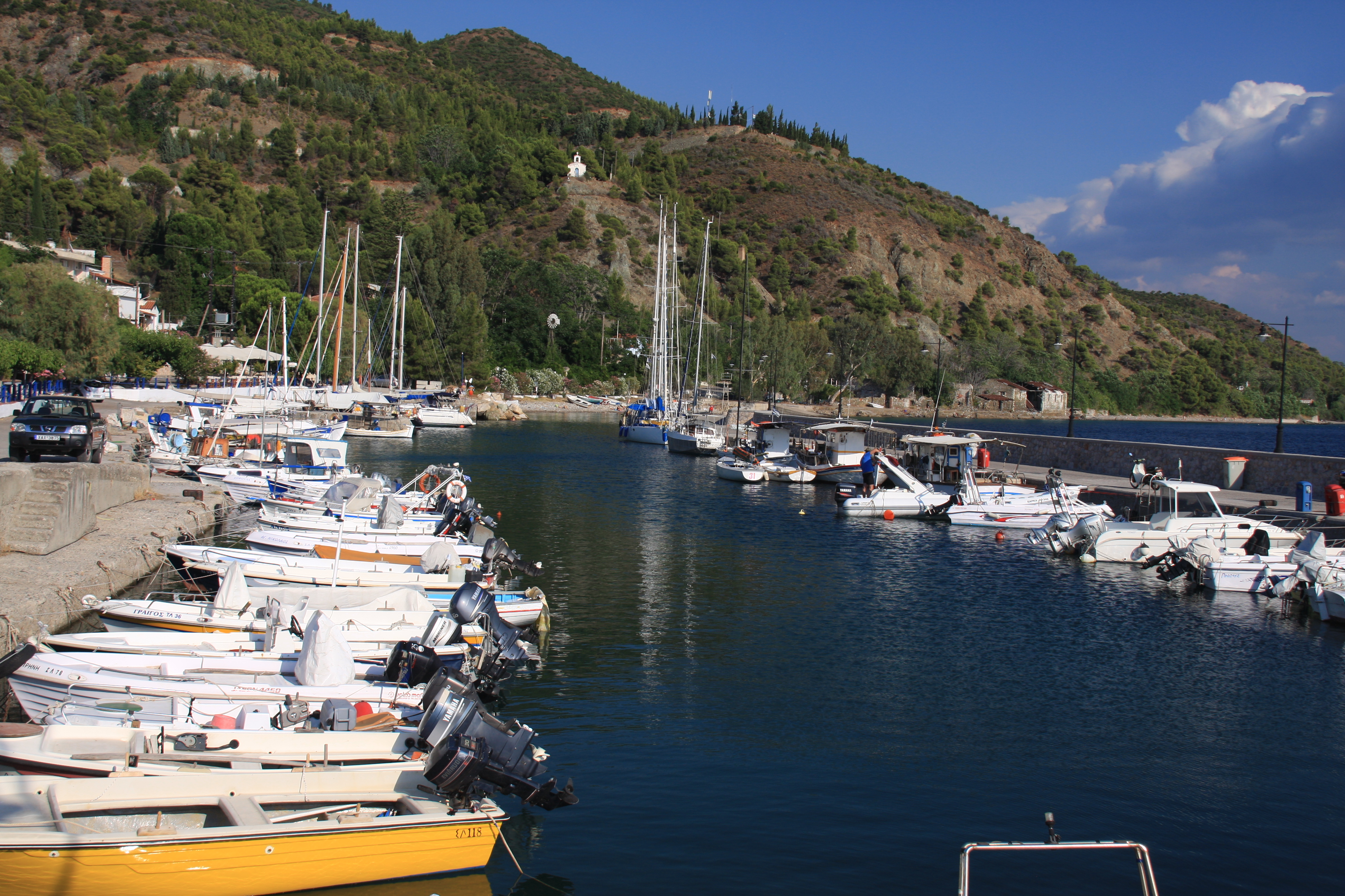
Waiting another 48hrs for easing winds we were able to sail off the anchor, pick up 15-20kts of breeze in the channel and sail the 40Nm down to Lavrion Olympic Marina where we entered the marina under sail and berthed alongside trying not to let our blood pressure get too high! Now – to unwind a little, wait for engine parts and do some sightseeing.

Meteora

Meteora 080

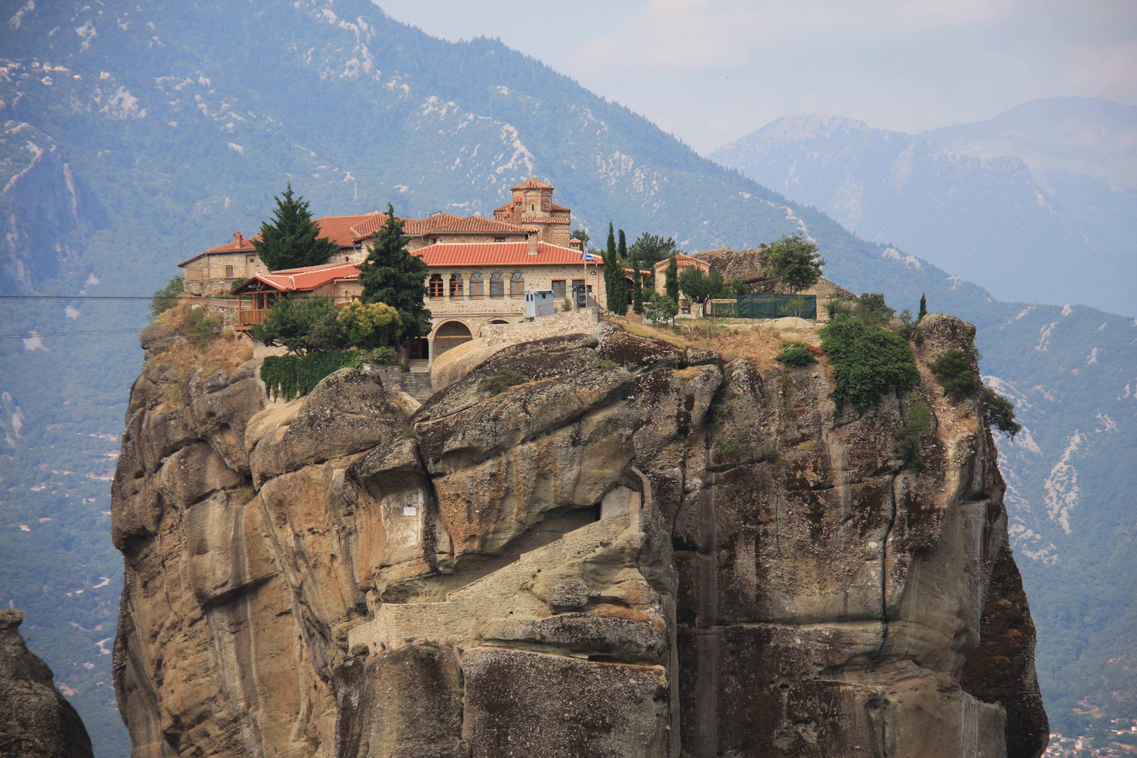
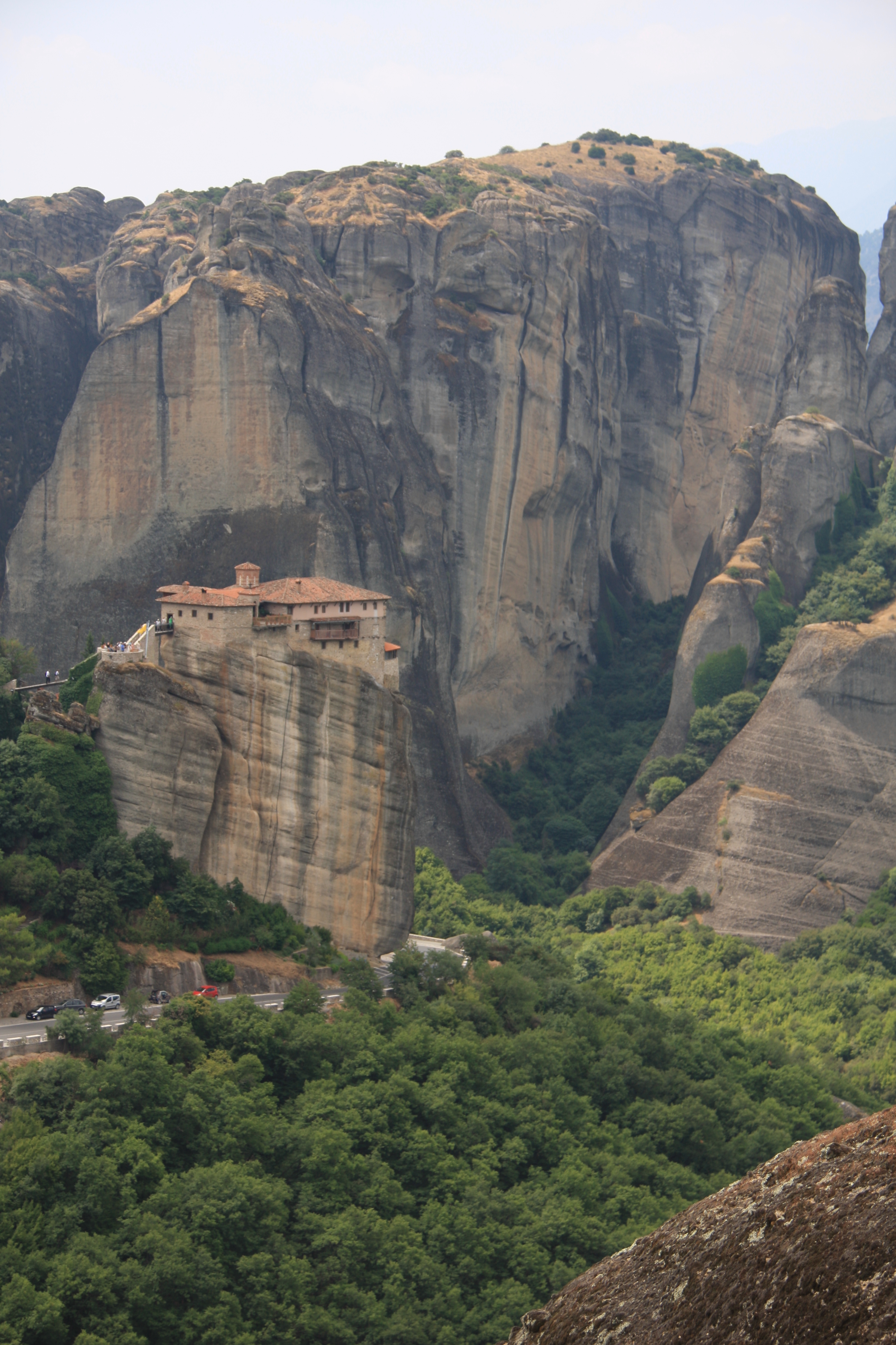
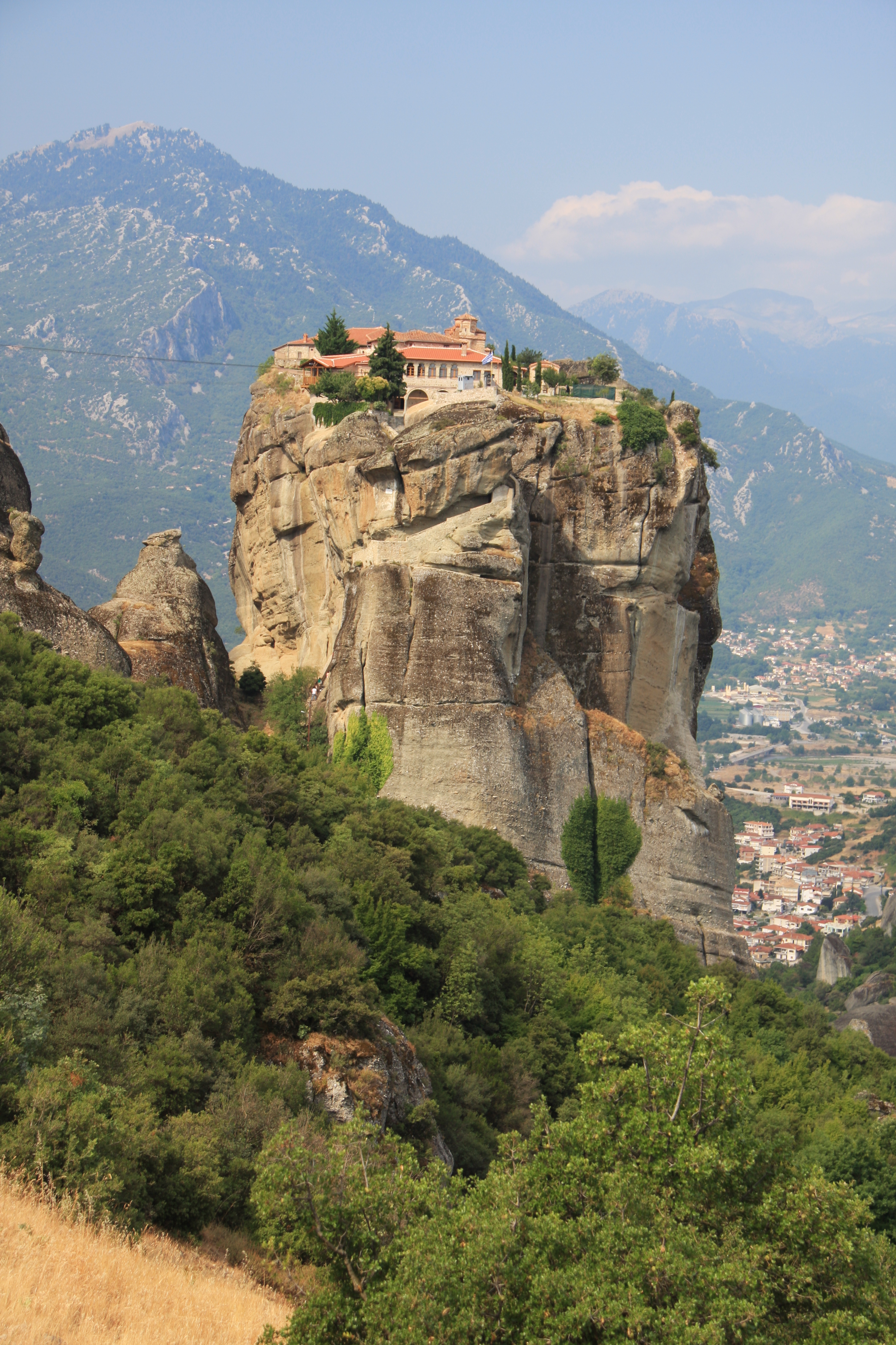
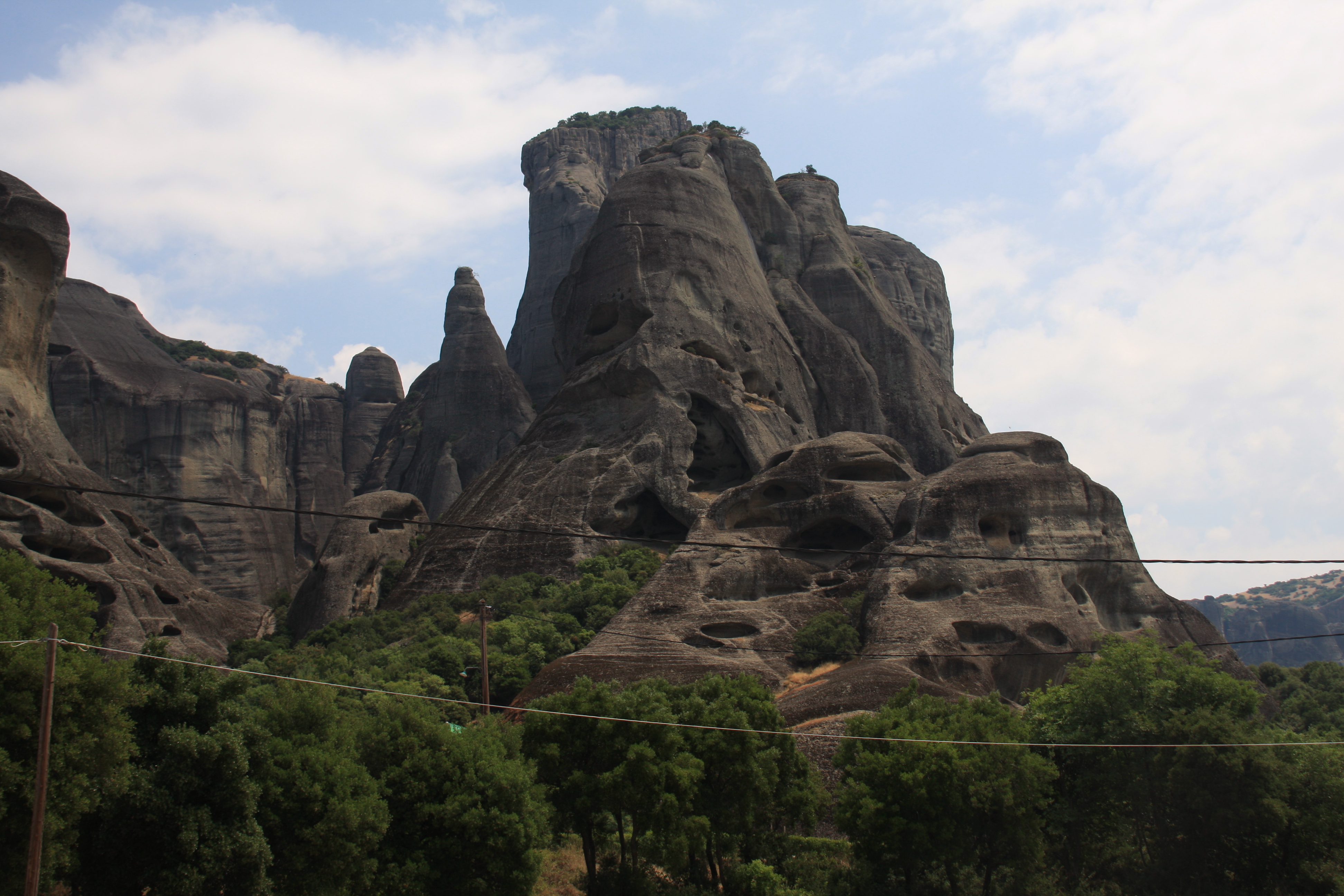
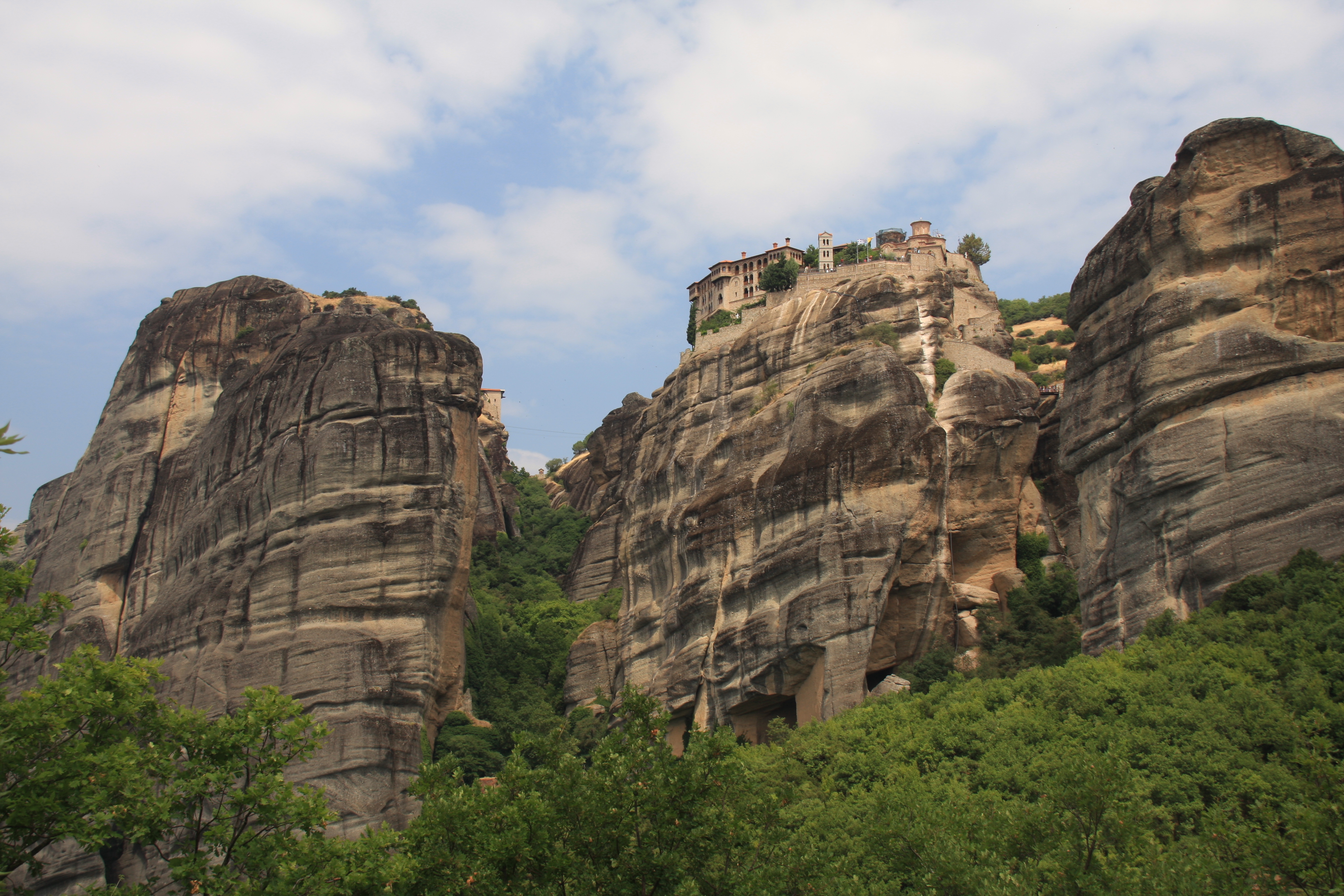
With parts on order from the UK, we headed to 400km northwest of Athens to see these world famous monasteries perched atop impossibly high rocky cliffs. The monasteries were built between the 14th -16th Centuries. Most are still occupied today, although apparently monks wanting more peace and quiet have moved to the more remote Athos peninsula. It is very popular tourist site, with tour buses lining the roads, especially to the largest Megalo Meteoro, and Varlaam.
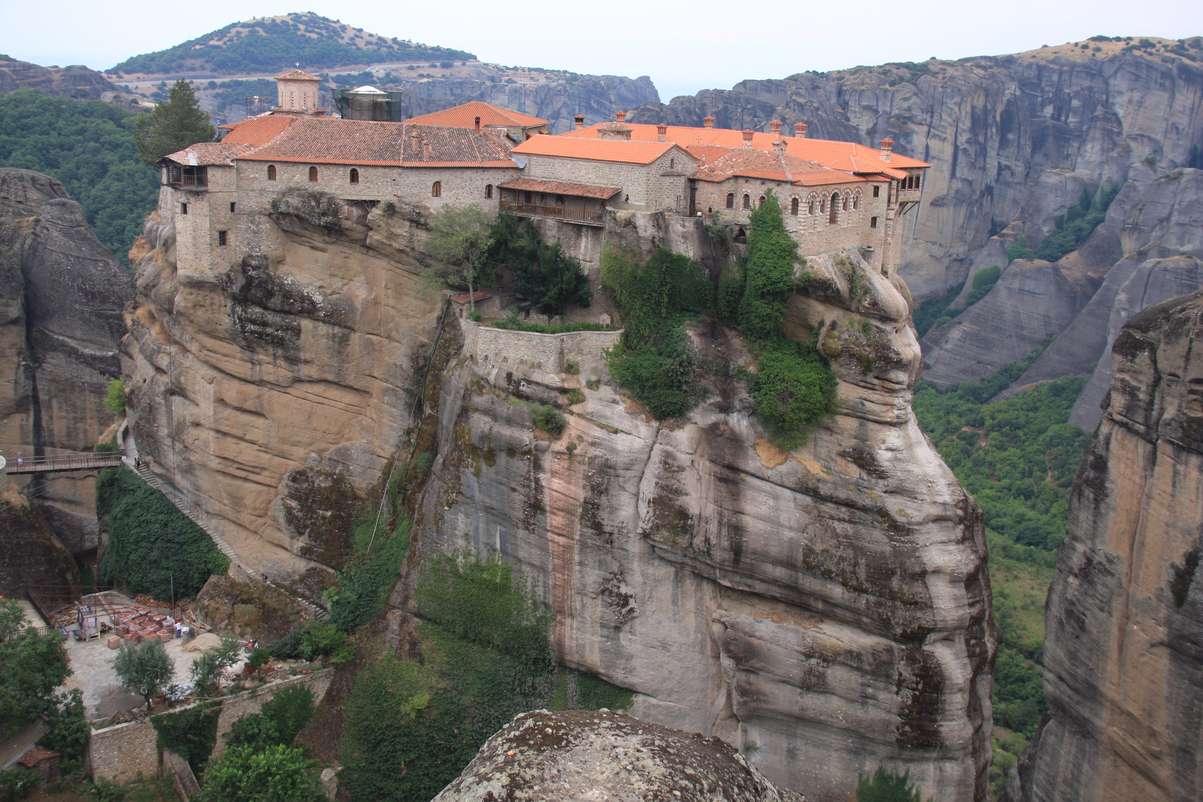
Megalo Meteoro

Megalo Meteoro

Agia Triada

Varlaam

Agia Triada

Meteora 064

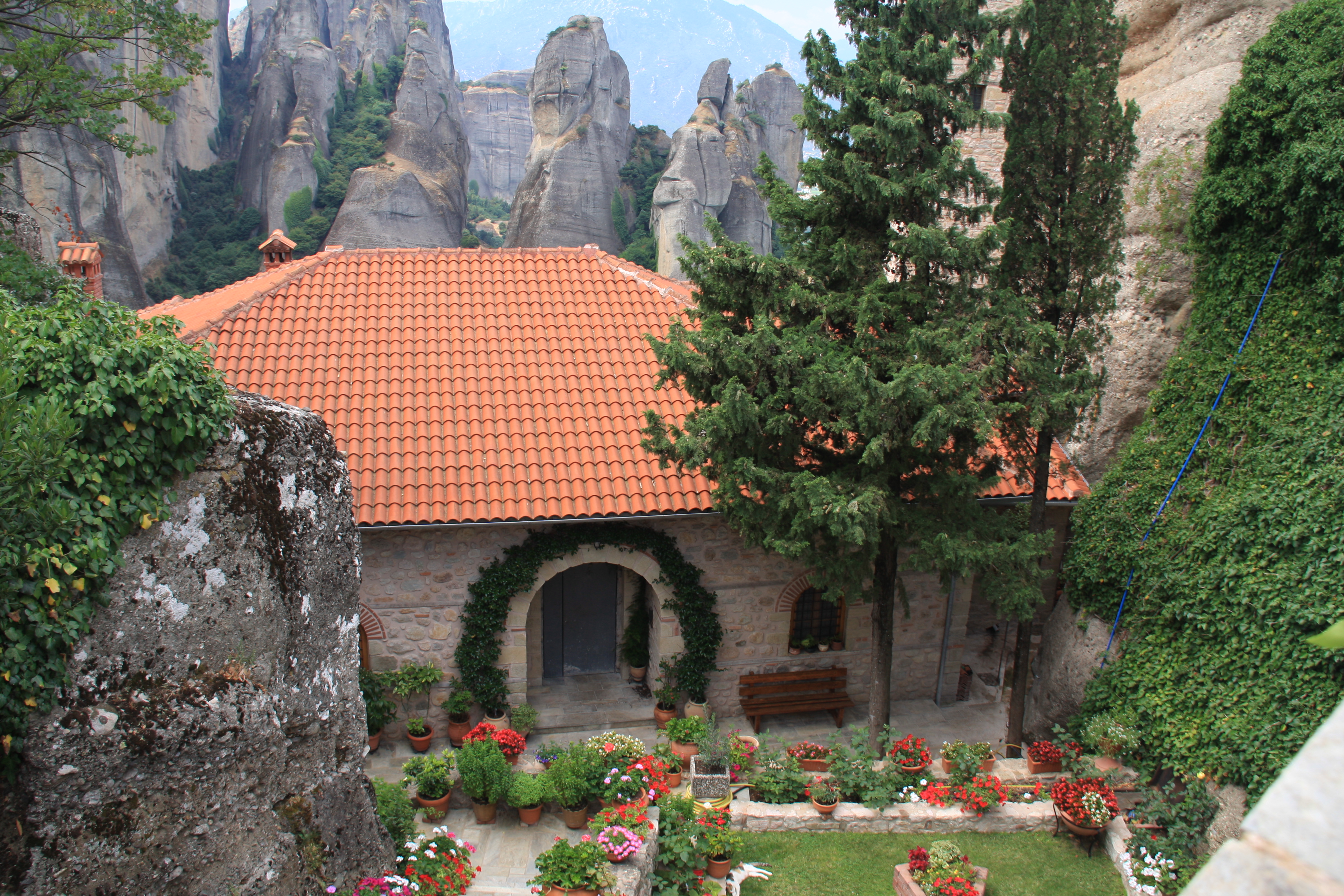
The Roussanou monastery and St Stephens are both convents and have lovely gardens tended by the nuns. They are very serene places, or would be once the crowd of tourists leave at the end of the day.

Roussanou Monastery

Roussanou Monastery

Rou garden

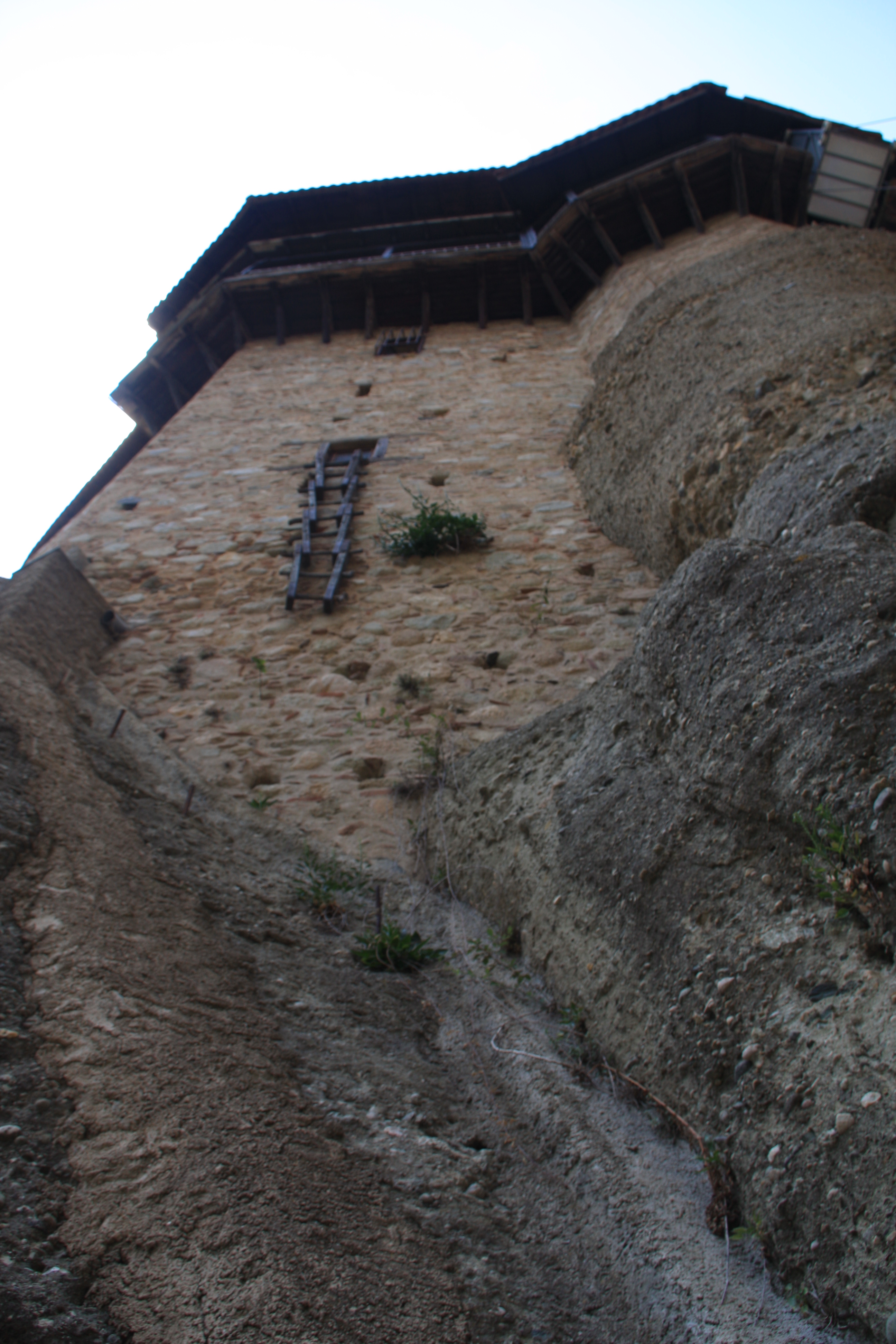
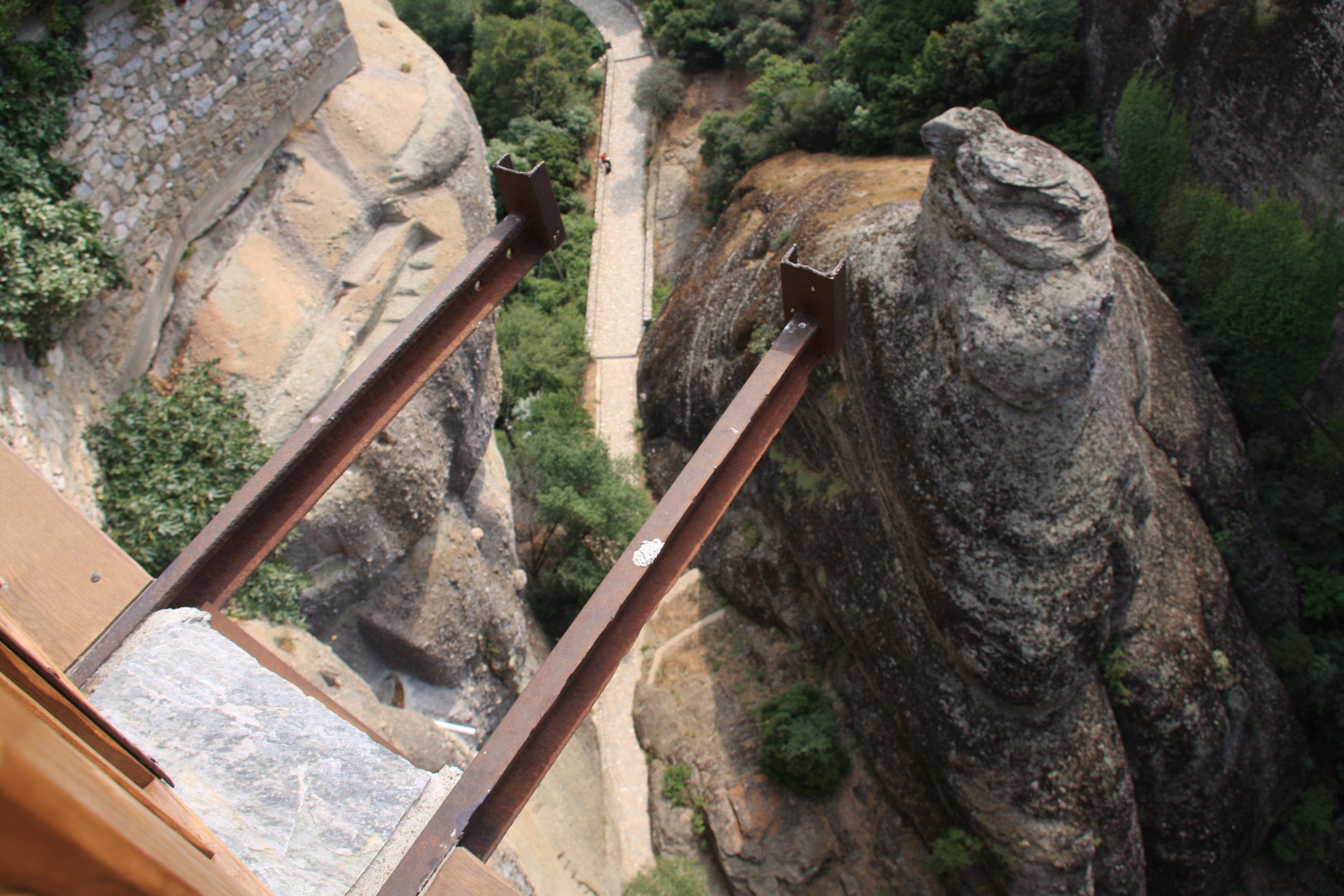
It is not a place to go if you are afraid of heights. Re-roofing, as they are currently doing to Varlaam Monastery must be a nightmare. Most monasteries today are accessed by civilized paths and stairways, quite unlike the ladders and baskets hauled up by long ropes in days gone by.

Meteora 102

Meteora 077

Meteora 021

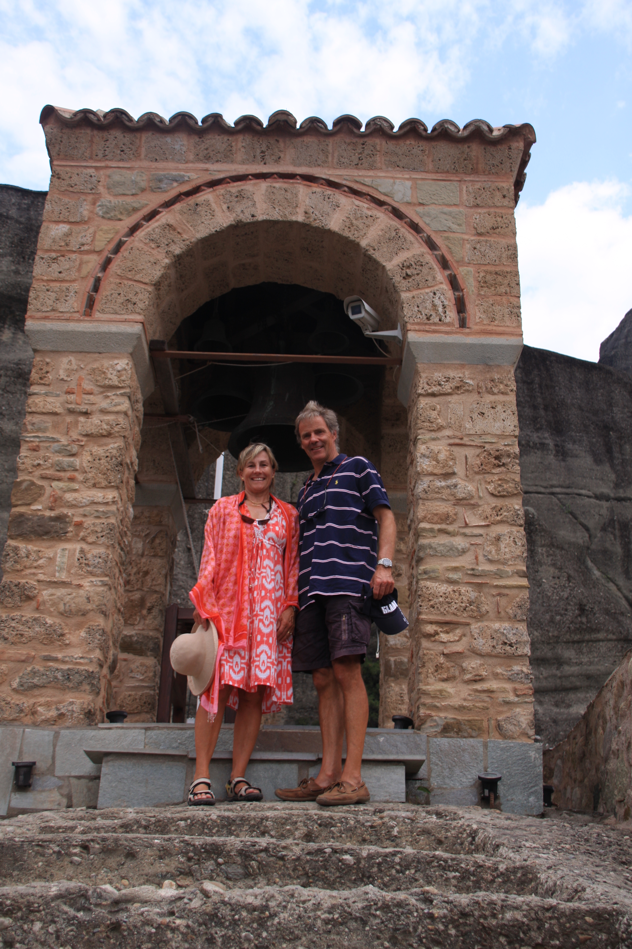
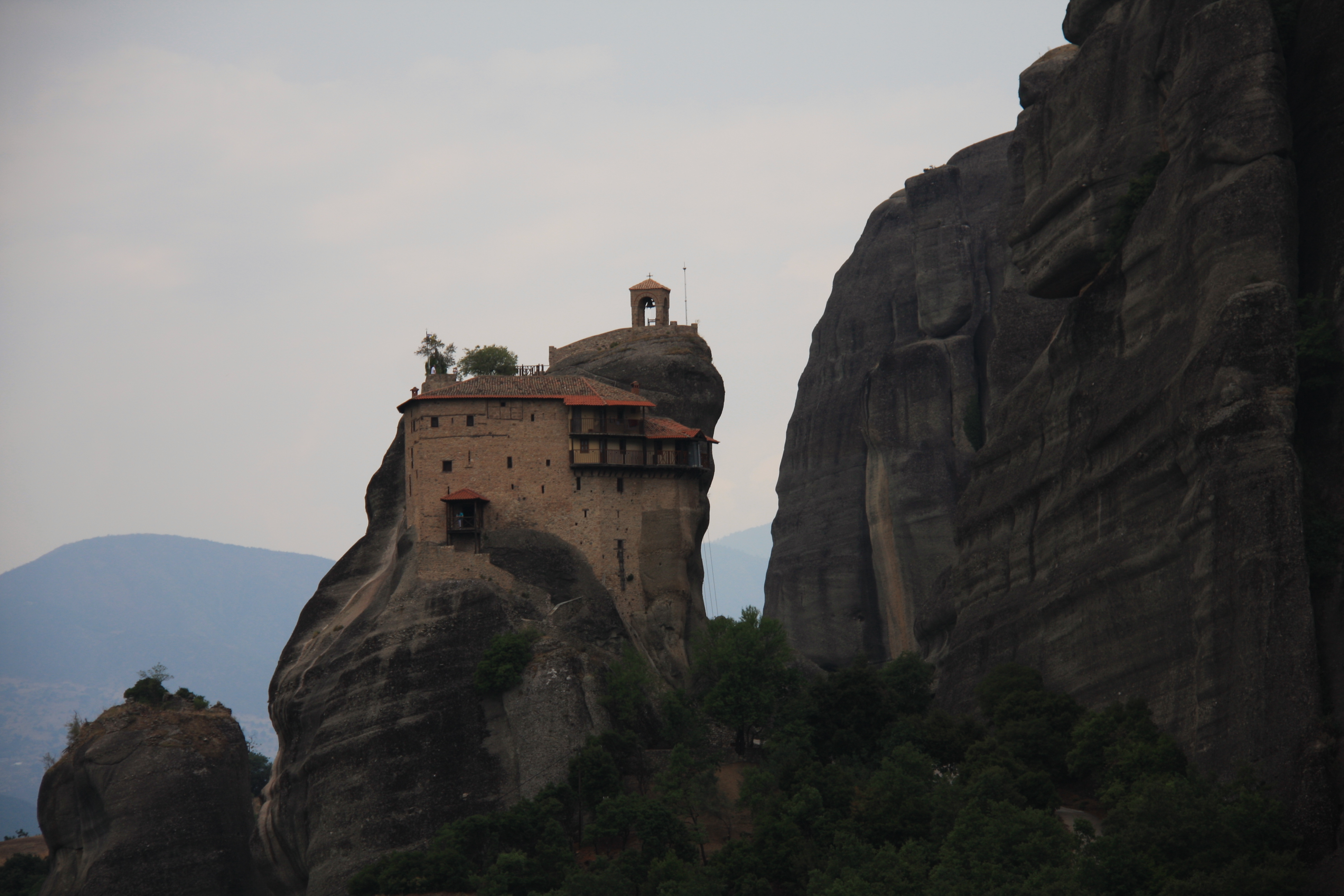
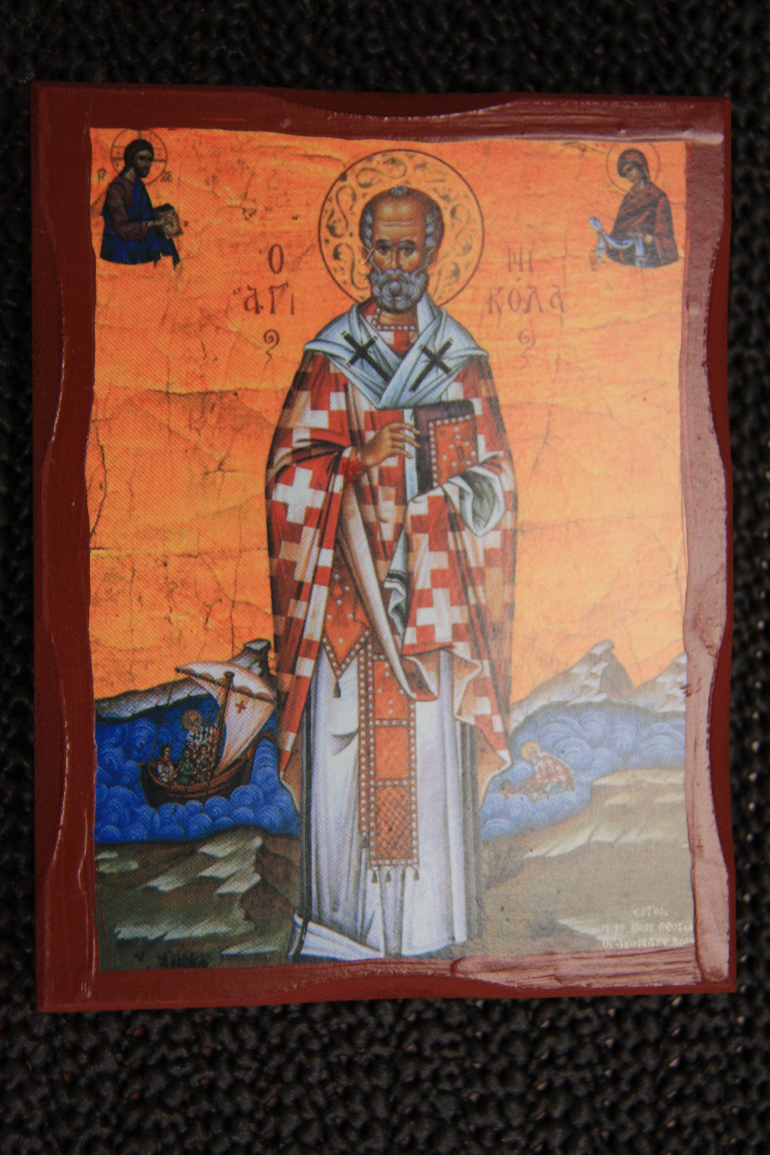
One of our favourite monasteries was the smaller Agios Nikolaos dedicated to the patron saint of ships – obligatory stop to see if we could expedite things with Volvo and keep the ship running!!

St Nikolas

Meteora 121

Apart from the monasteries, the landscape in the area is stunning.

Meteora 070

Meteora 068

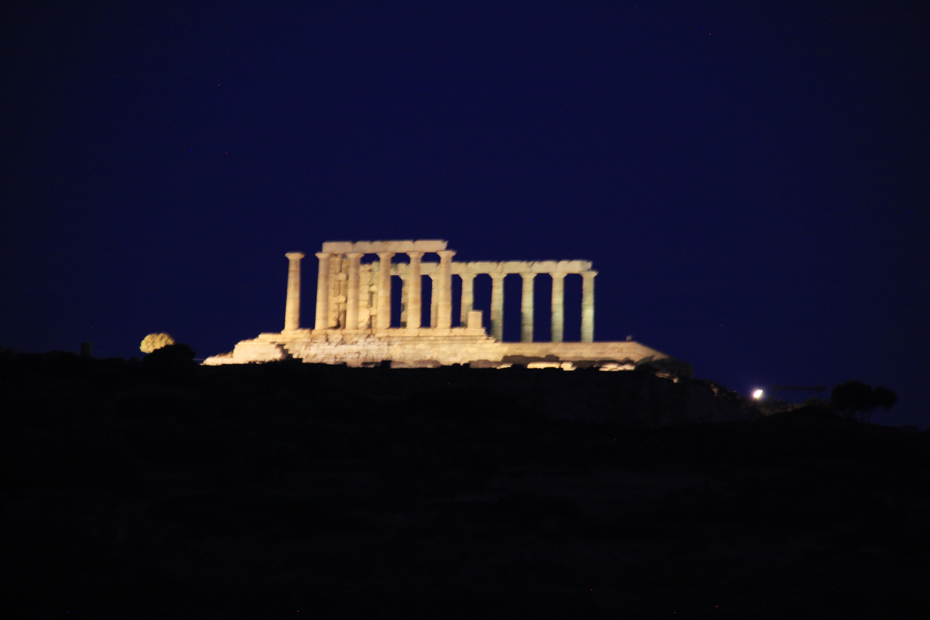
Back at  the marina, we had dinner near the wonderful Sounion temple, only a few miles away from Lavrion. Our last visit to   Sounion was in 2009, strangely enough, with another  Volvo engine failure.

Meteora 114

Meteora 111

Northern Sporades

Turquoise water, and plentiful wildlife were our first impressions of Kira Panayia, the most northern of the Northern Sporades islands. Sighted a rare and endangered Monk Seal on the way into the anchorage at Planitis – very exciting as there are only 600 of these seals remaining, 300 of which live in Greece mainly around these islands.

Plantitis

The only human inhabitants of this island are the monks in the monastery above Monastery Bay – a lovely lunch time & swim spot.

N Sporades 003

N Sporades 006

Our initial excitement at being the only boat anchored in the beautiful Ormos Kira Panagia was quickly dispelled as 6 more yachts followed us in to this beautiful spot.

Kira Panagia

Skyros is the southernmost island of the Northern Sporades group. We had a wonderful sail down to the island, anchoring in the bay. We were sorry we hadn’t gone into the port, Linaria, which appeared to be the best organised of the Greek island ports that we had seen, with laid lines and a pleasant and organised harbourmaster, a peaceful and pleasant ambiance despite the daily arrival of the large ferry, and some good tavernas.

Skyros port

The main hilltop town (chora) was beautifully well tended, with winding streets, a castle and monastery on the peak of the hill (both closed for renovation) and views over the rolling hills down to the sea.

N Sporades 025

N Sporades 020

After a not so good sail into the prevailing NW wind and horrible lumpy sea back to the Sporades chain, we were rewarded by the near-empty bay of in Ormos Tzorti on Alonnisos Island – our favourite island in the group. A large bay, crystal clear water, a white sandy beach, striking red cliffs.

Copy of Evia 142

Seeking out the Monk Seal (Monarchus Monarchus) rehabilitation station in the tiny but rustic bay Steni Vali, we decided to anchor in the adjacent uncrowded bay and take the tender around the corner. No seals in rehab right now but directed to the Monk Seal information centre in Patriti – the main port on Alonnisos. This centre is full of information about this marine park and the seals in particular – well worth a visit.

Steni Vala wall

The coastline of Alonnisos is spectacular. It’s hard enough for people to get to not to be over-run by tourists and hasn’t yet been messed up with excessive doses of “villa pox” from Athenian weekenders.

N Sporades 062

Rousoumi, the bay next to Patitiri (beautiful and calm in this picture), was a convenient spot to leave Sea Cloud while we made a quick visit to the old hilltop town of Alonnisos. This village was virtually demolished in the 1965 earthquake but has been largely rebuilt in the past 10 years. It has been well restored and although a bit touristy, it has a very good mojito bar at the top commanding spectacular views over both east and west sides of the island. Obviously the small chapel here is also a popular wedding spot.

N Sporades 095

N Sporades 086

N Sporades 079

N Sporades 085

N Sporades 097

Rousoumi was not so pretty at midnight when we had to up anchor and move out due to rising winds and swell coming into what had now become a very crowded bay. With high winds and the sight of lightning to the north we needed somewhere safer – albeit requiring a disconcertingly dark motor up the coast on a moonless night back to Tzorti where we dropped anchor for the next few days waiting for the blow to finish.

Tzorti

It was very exciting to see Diana and Alex in Enki come around the corner into the bay next evening. Our twin HR48’s, both with Australian flags, were the only 2 yachts in the bay for 2 nights of strong winds, eating, drinking, and good conversation. It has been great getting to know Alex and Diana, and having them at the end of email, phone or Skype to which we frequently use to discuss mechanical issues, or even the joys of cruising.

N Sporades 123

Alex's bday Enki

We had a challenging sail tacking up to Skopelos, against the current and dodging 4 ferries in the narrow channel between Alonnisos and Skopelos. Skopelos harbour was busy with ferries and yachts – this brave yacht pictured seemed oblivious despite the ferry tooting and holding its course.

Skopelos harbour

Evia 153

Skopelos, (aka the Mamma Mia) island, is very pretty with its white houses with red roofs, many small churches and cafes and bars overlooking crystal clear waters.

Evia 169

Evia 165

Evia 182

Evia 179

This mojito bar has a million dollar view, a kitten on death’s door a feisty pooch  and Abba playing in the background.

Evia 174

A touching photo – a minute later the dog having had enough of kitten rehab, tossed it to the ground.

Evia 191

Skopelos has some spectacular bays such as Ormos Siferi. Although this is crowded during the day, we were the only boat overnight – very impressive in mid July!

Evia 201

Evia 205

Evia 200

Skiathos, the southernmost and most developed of the Northern Sporades chain was our least favourite island – although obviously very popular with some well heeled Athenians.

Evia 226

It does have some spectacular bays but we’re a long way back to Turkey and we need to get moving to Evia.

Evia 232

Northern Greece

Red line = our route

Red line = our route

Leaving the northernmost Aegean island of Thassos, we headed across to the Greek mainland for an unplanned brief stop (minor engine issues) to Kavala with its aqueduct running through the middle of town and the Turkish fort on the hill.

Kavala aqueduct

Kavala fort

We were very much looking forward to rounding the Athos peninsula soon, having heard a lot about its spectacular monasteries. Skala Marion on Thassos was a good overnight, calm weather only anchorage with spectacular sunset – an ideal jumping off point early the following morning for a 60Nm day west to the Athos to catch it in daylight. This was one day we were glad to have no wind and glassy seas, as the tip of the peninsula is notorious for its turbulent seas and currents onto this lee shore in any wind.

sunrise

One’s first view of the coastline is spectacular Mt Athos (higher than Koscziusko) with a wisp of cloud hanging off the peak.

Mt Athos 061

The Agio Oros peninsula, with Mt Athos at its southern tip, is home to about 20 large monasteries, currently inhabited by 1,450 monks. The first monastery was established in the 9th Century and since the 10th Century, the peninsula been an Orthodox monastic republic. While most of the monasteries are Greek, Orthodox monks from many places in northern Europe and as far away as Argentina, have built very imposing monasteries in this very isolated place. The peninsula is closed to land visitors and strictly forbidden for women. It is only possible to visit the peninsula by land with special permission if one has religious or academic affiliations. Until recently, not only were women prohibited, but also female animals and even clean- faced men!

Mt Athos 065

The monasteries on the eastern side are very grand, with most lying quite close to the water. As well as the large monasteries, there are a few larger houses & little villages with churches tucked into lush green, steep countryside.

Mt Athos 087

Koutloumoussiou

As you can imagine the maintenance of these imposing structures is constant and ongoing. The huge cost of this is borne by income of the large and valuable properties held elsewhere by the church itself as well as EU and UNESCO funds. A number of the monasteries are foreign owned.

Panocratoros

The southern coastline, the most inaccessible part of the peninsula has a large number of small dwellings, many little more than shacks (presumably housing hermits) in the most unimaginably inaccessible places tucked into small holes in steep rock faces! Although there were some small landing jetties, most of the buildings were perched on the rugged cliff faces high above the sea, with no way to easily access the sites visible with very few roads on the peninsula.  We wondered how they get provisions, let alone build and renovate here.

Mt Athos 098

Mt Athos 107

Mt Athos 110

On the western side is the only significant port of the peninsula.   In the flatter areas, vineyards and hot houses are evident. Also visible were cars, cement trucks, solar panels ++ the trappings of modern life. In the 70’s there were no roads nor electricity.

Mt Athos 131

The largest of the monasteries on the West side is Russian covering more land than most small towns!

Mt Athos 140

Mt Athos 146

Along the entire 50Nm of this coastline we saw only one other yacht. A couple of tripper boats access the very northern monasteries from the mainland. It certainly was a wonderful day – 65 miles which seemed to go in a flash.

Mt Athos 138

As yachts can’t anchor on the peninsula, we dropped anchor under Ammouliani island, in a bay with beautiful white sand and turquoise water, but unfortunately, a rather noisy beach and equally noisy seagulls swamping an obviously successful fishing boat!

Dolphins 032

O Tsarki Ammouliani Is

Obviously the fishing is really good in this gulf, I have never seen so many birds around a fishing boat!

IMG_4340

The small town of Panagia on the eastern shore of the Sithonia Peninsula was a very pleasant spot. To Ian’s delight we found plentiful fresh fish and prawns for the barbie from the local fish cooperative. Although fish is always on the menu in Greek restaurants, it is always too expensive.

Panayia

A night in Kriftos bay at anchor – the only boat in the bay, fresh fish and prawns on the BBQ – who needs to dress for dinner?!

Dolphins 015

The water around Diaphoros Island is the most beautiful turquoise colour, wonderful for exploring in the ducky.

Diaphora

With the sun overhead and perfectly clear water through the narrow channel it was a timely reminder never to trust the GPS plotter for pilotage in tight spots. The C-MAP chart was 360m in error (see our tracks over the land), while the iPad Navionics was much more accurate.

Diaphora Is

Jorge and Zoufan, who we’d met in Molivos (Lesvos Is)  and again in Limnos dropped anchor in the bay next to us. Jorge, who is Greek told us many humorous stories of his 3 months hiking as an 18 yr old between monasteries on Athos in the 1960s. He had spent 3 months there as an 18 year old as a ‘journalist’ doing a story on the monasteries. He spoke of the long distances walking between the monasteries worrying about wolves and bears and the need to be in by 7pm or the doors would be locked. As a young man, it was not always safer indoors either…!

Zoufan & George

The coastline further south on the Sithonia peninsula is very beautiful, with forests down to the edge of the white sandy beaches. It is also very popular, fortunately many places have camping sites rather than built development along the shores. More dolphins!

IMG_4372

Porto Kuofo a beautiful harbour on the western tip of the Sithonia peninsula, was our last stop before heading to the Northern Sporades.  Although it is a large land locked natural harbour, it is also a tricky anchorage as it is very deep at one end and has a huge shallow spit in the middle of the bay.

Porto Koufo SC

Here we had encountered our first charter flotilla for the season. It must have been the first time out for this flotilla leader, as 4 of the 10 boats managed to ground themselves on the sandbar in the middle of the bay!  Seeing so many boats was a bit of a surprise but a reminder that low season is almost over. This area has been fantastic for cruising this time of the year. Some days we only saw one or 2 other boats and had many nights alone in bays.

IMG_4383